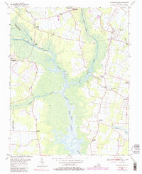
1954 Map of Pleasant Ridge
USGS Topo · Published 1984About this map
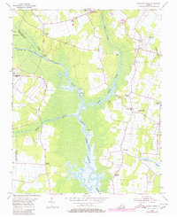
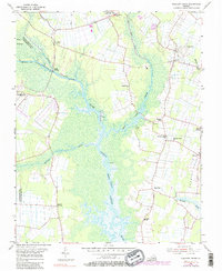
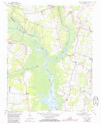
Princess Anne and the surrounding marshy lowlands of the Virginia coast define this mid-century landscape. The North Landing River serves as the central artery for the Intracoastal Waterway, winding through expansive wetlands like Gum Swamp. This environment dictated the distribution of high-ground settlements, where farming communities and rural hubs developed along the margins of the river and its tributaries, such as West Neck Creek and the Pocaty River.
Find a feature on this map
31 named features on this map. Tap any name to fly to it.
Don’t see what you’re looking for? This feature index may not catch every label — zoom into the map to look around manually.
Map Details
Editions of this 1954 Pleasant Ridge Map
7 editions found
Other maps of this area

1893 · Virginia Beach
USGS Topo · 1:125,000

1907 · Norfolk
USGS Topo · 1:125,000

1916 · Back Bay
USGS Topo · 1:62,500

1918 · Cape Henry
USGS Topo · 1:62,500

1919 · Cape Henry
USGS Topo · 1:62,500

1939 · Moyock
USGS Topo · 1:62,500

1943 · Back Bay
USGS Topo · 1:62,500

1946 · Moyock
USGS Topo · 1:62,500

1946 · Eastville
USGS Topo · 1:250,000

1946 · Currituck Sound
USGS Topo · 1:250,000