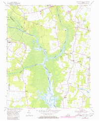
1954 Map of Pleasant Ridge
USGS Topo · Published 1980About this map
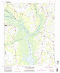
Princess Anne serves as a focal point for this Tidewater landscape, where the Courthouse and local institutions anchor the community during the mid-20th century. The intricate network of the North Landing River and the Intracoastal Waterway dominates the geography, punctuated by small agricultural and residential nodes like Land of Promise, Pungo, and Pleasant Ridge. Educational and spiritual life are well-documented through rural landmarks such as Pleasant Ridge School, Creeds School, and Charity Ch.
Find a feature on this map
30 named features on this map. Tap any name to fly to it.
Don’t see what you’re looking for? This feature index may not catch every label — zoom into the map to look around manually.
Map Details
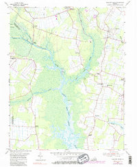
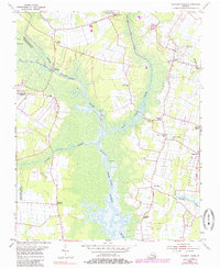
Editions of this 1954 Pleasant Ridge Map
7 editions found
Other maps of this area

1893 · Virginia Beach
USGS Topo · 1:125,000

1907 · Norfolk
USGS Topo · 1:125,000

1916 · Back Bay
USGS Topo · 1:62,500

1918 · Cape Henry
USGS Topo · 1:62,500

1919 · Cape Henry
USGS Topo · 1:62,500

1939 · Moyock
USGS Topo · 1:62,500

1943 · Back Bay
USGS Topo · 1:62,500

1946 · Moyock
USGS Topo · 1:62,500

1946 · Eastville
USGS Topo · 1:250,000

1946 · Currituck Sound
USGS Topo · 1:250,000