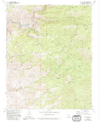
1972 Map of Mt. Adelaide
USGS Topo · Published 1994About this map
Sequoia National Forest dominates this section of the Sierra Nevada foothills, where the Kern River carves a deep path through the northern landscape. This 1972 survey, later updated in 1994, documents a region defined by its water sources and rugged topography. The presence of the Richbar Guard Station and several designated picnic areas near the river suggest its importance for forest management and early recreation. Southward, the terrain transitions into a complex of drainage basins including Lucas Creek and Rattlesnake Creek. Evidence of historical industry and land use is sparse but significant, with the Ruby Mine located near the North Fork of Cottonwood Creek and the Castro Ranch situated further south. A network of routes like the Pacheco Trail and Breckenridge Road provide the primary access through these hills, connecting various springs such as Tunnel Spring and Dripping Spring.
Find a feature on this map
31 named features on this map. Tap any name to fly to it.
Don’t see what you’re looking for? This feature index may not catch every label — zoom into the map to look around manually.
Map Details
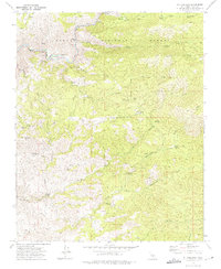
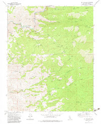
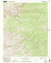
Editions of this 1972 Mt. Adelaide Map
4 editions found
Other maps of this area

1914 · Caliente
USGS Topo · 1:125,000

1920 · Delonagha
USGS Topo · 1:62,500

1926 · Glennville
USGS Topo · 1:62,500

1929 · Bena
USGS Topo · 1:31,680

1931 · Edison
USGS Topo · 1:31,680

1932 · Bena
USGS Topo · 1:31,680

1932 · Woody
USGS Topo · 1:62,500

1935 · Woody
USGS Topo · 1:62,500

1936 · Tobias Peak
USGS Topo · 1:125,000

1943 · Breckenridge Mountain
USGS Topo · 1:62,500