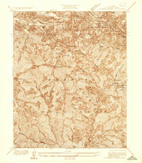
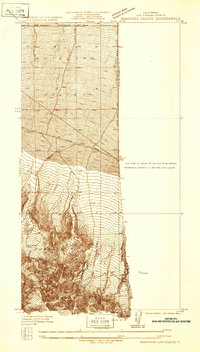
1936 Map of Mt. Baden-Powell
USGS Topo · Published 1936About this map
Big Pines Recreation Camp of Los Angeles County serves as a primary focal point for high-altitude leisure in the Angeles National Forest during the mid-1930s. This survey, conducted by C. P. McKinley, details a landscape defined by steep drainage basins and sharp ridgelines, where seasonal recreation infrastructure like a Ski Jump and Ice Skating Rink near Jackson Lake contrasts with the area's industrial history. Evidence of resource extraction remains at the Big Horn Mine, situated on the eastern slopes of the San Gabriel Mountains.
Find a feature on this map
32 named features on this map. Tap any name to fly to it.
Don’t see what you’re looking for? This feature index may not catch every label — zoom into the map to look around manually.
Map Details
Editions of this 1936 Mt. Baden-Powell Map
This is the sole edition of this map. No revisions or reprints were ever made.
Other maps of this area

1901 · Southern California Sheet No. 1
USGS Topo · 1:250,000

1903 · Rock Creek
USGS Topo · 1:62,500

1903 · San Antonio
USGS Topo · 1:62,500

1904 · Southern California Sheet No. 1
USGS Topo · 1:250,000

1934 · Mescal Creek
USGS Topo · 1:24,000
1934 · Camp Baldy
USGS Topo · 1:24,000
1934 · Valyermo
USGS Topo · 1:24,000

1934 · Camp Bonita
USGS Topo · 1:24,000
1934 · Camp Rincon
USGS Topo · 1:24,000
1934 · Boneyard Canyon
USGS Topo · 1:24,000