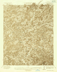
1934 Map of Camp Rincon
USGS Topo · Published 1934About this map
The Angeles National Forest dominates this landscape, showing a complex network of canyons and peaks before the full modernization of the San Gabriel canyon system. The confluence of the San Gabriel River North Fork and the West Fork San Gabriel River forms a central drainage point, where the Camp Rincon Ranger Sta served as a key administrative outpost. The presence of the C. C. C. Camp reflects the intensive trail and fire infrastructure work performed by the Civilian Conservation Corps during the Great Depression, an era of significant public works in these mountains.
Find a feature on this map
21 named features on this map. Tap any name to fly to it.
Don’t see what you’re looking for? This feature index may not catch every label — zoom into the map to look around manually.
Map Details
Editions of this 1934 Camp Rincon Map
This is the sole edition of this map. No revisions or reprints were ever made.
Other maps of this area

1894 · Pomona
USGS Topo · 1:62,500

1897 · Pomona
USGS Topo · 1:62,500

1898 · Pomona
USGS Topo · 1:62,500

1901 · Southern California Sheet No. 1
USGS Topo · 1:250,000

1903 · Rock Creek
USGS Topo · 1:62,500

1904 · Pomona
USGS Topo · 1:62,500

1904 · Southern California Sheet No. 1
USGS Topo · 1:250,000
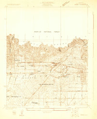
1925 · Azusa
USGS Topo · 1:24,000
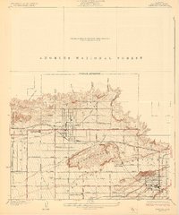
1927 · Glendora
USGS Topo · 1:24,000
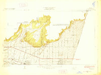
1928 · La Verne
USGS Topo · 1:24,000