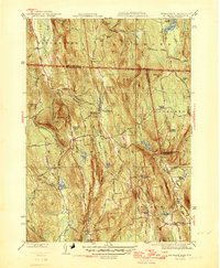
1946 Map of Mt Grace
USGS Topo · Published 1946About this map
Warwick sits at the heart of this post-war landscape, where the high ridges of the Northern Uplands define the settlement patterns of the Franklin County and Cheshire Co borderlands. The terrain is marked by prominent elevations like Mt Grace with its Fire Tower and Mayo Hill, while the local economy is etched into the landscape through water features like Richards Mill Pond and Richards Reservoir.
Find a feature on this map
87 named features on this map. Tap any name to fly to it.
Don’t see what you’re looking for? This feature index may not catch every label — zoom into the map to look around manually.
Map Details
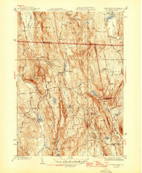
Editions of this 1946 Mt Grace Map
2 editions found
Other maps of this area

1887 · Warwick
USGS Topo · 1:62,500

1887 · Winchendon
USGS Topo · 1:62,500

1889 · Warwick
USGS Topo · 1:62,500

1890 · Winchendon
USGS Topo · 1:62,500

1894 · Winchendon
USGS Topo · 1:62,500

1894 · Warwick
USGS Topo · 1:62,500

1898 · Monadnock
USGS Topo · 1:62,500

1898 · Keene
USGS Topo · 1:62,500

1932 · Warwick
USGS Topo · 1:48,000

1932 · Winchendon
USGS Topo · 1:48,000