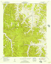
1951 Map of Mt. Joy
USGS Topo · Published 1957About this map
The Lewis Co Maury Co boundary divides this landscape of deeply dissected ridges and hollows during the early 1950s. Settlement is concentrated along the narrow valley floors, particularly near Hampshire and Mt Joy. The map reveals a high density of rural social infrastructure, with family names and local congregations well-established across the terrain. Notable landmarks like Liberty Church and New Zion Church served as community anchors, while small educational sites such as the Macedonia Sch and Pisgah View School are situated alongside the winding road networks.
Find a feature on this map
101 named features on this map. Tap any name to fly to it.
Don’t see what you’re looking for? This feature index may not catch every label — zoom into the map to look around manually.
Map Details
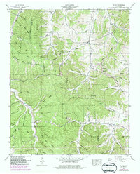
Editions of this 1951 Mt. Joy Map
2 editions found
Other maps of this area

1901 · Colombia
USGS Topo · 1:125,000

1936 · Sandy Hook
USGS Topo · 1:24,000

1936 · Williamsport
USGS Topo · 1:24,000

1936 · Mt Joy
USGS Topo · 1:24,000

1936 · Henryville
USGS Topo · 1:24,000

1936 · Sunrise
USGS Topo · 1:24,000

1936 · Crestview
USGS Topo · 1:24,000

1936 · Greenfield Bend
USGS Topo · 1:24,000

1936 · Mount Pleasant
USGS Topo · 1:24,000

1936 · Gordonsburg
USGS Topo · 1:24,000