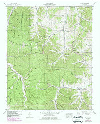
1951 Map of Mt. Joy
USGS Topo · Published 1979About this map
The boundary between Lewis County and Maury County divides this landscape of high ridges and deep hollows, as documented in this mid-century survey with later updates. The village of Hampshire serves as a local hub near the upper center, while the small settlement of Mt Joy occupies the southeastern corner. The area is defined by its rugged topography, featuring prominent landmarks like Pickard Bluff and Rock Hole Bluff overlooking Swan Creek.
Find a feature on this map
76 named features on this map. Tap any name to fly to it.
Don’t see what you’re looking for? This feature index may not catch every label — zoom into the map to look around manually.
Map Details
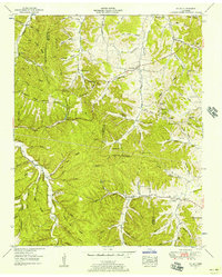
Editions of this 1951 Mt. Joy Map
2 editions found
Other maps of this area

1901 · Colombia
USGS Topo · 1:125,000

1936 · Sandy Hook
USGS Topo · 1:24,000

1936 · Williamsport
USGS Topo · 1:24,000

1936 · Mt Joy
USGS Topo · 1:24,000

1936 · Henryville
USGS Topo · 1:24,000

1936 · Sunrise
USGS Topo · 1:24,000

1936 · Crestview
USGS Topo · 1:24,000

1936 · Greenfield Bend
USGS Topo · 1:24,000

1936 · Mount Pleasant
USGS Topo · 1:24,000

1936 · Gordonsburg
USGS Topo · 1:24,000