
1954 Map of Mt Peale 4 NE
USGS Topo · Published 1955About this map
The high desert landscape of the Utah-Colorado border is defined by complex drainage systems and dramatic topography in this 1954 topographical study. In the southern portion of the map, the Lower Lisbon Valley stretches across the terrain, separated from the northern canyons by the narrow Lisbon Gap. This area represents a critical intersection of jurisdictional boundaries, where the border between Montrose County and San Juan County meets the state line.
Find a feature on this map
9 named features on this map. Tap any name to fly to it.
Don’t see what you’re looking for? This feature index may not catch every label — zoom into the map to look around manually.
Map Details
Editions of this 1954 Mt Peale 4 NE Map
This is the sole edition of this map. No revisions or reprints were ever made.
Other maps of this area

1885 · La Sal
USGS Topo · 1:250,000

1916 · Paradox Valley
USGS Topo · 1:125,000

1922 · Paradox Valley
USGS Topo · 1:125,000

1948 · Horse Range Mesa
USGS Topo · 1:24,000

1948 · Paradox
USGS Topo · 1:24,000

1949 · Paradox
USGS Topo · 1:24,000
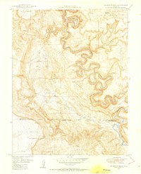
1949 · Anderson Mesa
USGS Topo · 1:24,000

1950 · Horse Range Mesa
USGS Topo · 1:24,000
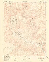
1950 · Anderson Mesa
USGS Topo · 1:24,000

1954 · Mt Peale 1 SE
USGS Topo · 1:24,000