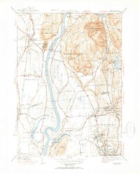
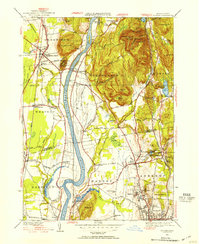
1944 Map of Mt. Toby
USGS Topo · Published 1954About this map
Mt Toby State Forest dominates the eastern highlands of this mid-century landscape, a period when the University of Massachusetts at Amherst was already a central anchor for the region. The map reveals a valley defined by the winding Connecticut River, which separates the agricultural fields of Bradstreet and North Hatfield from the rising elevations of the Pocumtuck Range. Notable industrial and infrastructure remnants include the Whately Sta along the Boston and Maine Railroad and the Central Vermont Railway corridor passing through Leverett. The presence of the State Fish Hatchery near Sunderland and the Mt Sugarloaf State Reservation reflects a local economy balancing resource management with public recreation. Genealogists will find numerous family-named landmarks and historical burial grounds such as Riverside Cem and East Whately Cem clearly marked.
Find a feature on this map
75 named features on this map. Tap any name to fly to it.
Don’t see what you’re looking for? This feature index may not catch every label — zoom into the map to look around manually.
Map Details
Editions of this 1944 Mt. Toby Map
2 editions found
Other maps of this area

1885 · Northampton
USGS Topo · 1:62,500

1886 · Northampton
USGS Topo · 1:62,500

1887 · Warwick
USGS Topo · 1:62,500

1887 · Belchertown
USGS Topo · 1:62,500

1889 · Warwick
USGS Topo · 1:62,500

1890 · Belchertown
USGS Topo · 1:62,500

1890 · Greenfield
USGS Topo · 1:62,500

1891 · Northampton
USGS Topo · 1:62,500

1893 · Northampton
USGS Topo · 1:62,500

1893 · Belchertown
USGS Topo · 1:62,500