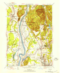
1944 Map of Mt Toby
USGS Topo · Published 1954About this map
The Connecticut River carves a deep valley through the heart of this Pioneer Valley landscape, where agriculture and early industry are defined by the water. To the west, the Boston and Maine Railroad services a string of settlements like South Deerfield and East Whately, while the Central Vermont Railroad parallels the river on the east through Sunderland and Leverett. The map captures a moment when the University of Massachusetts at Amherst was a more modest campus surrounded by farmland and woods. Elevated landmarks like Mt Toby and the Mt Sugarloaf State Reservation rise sharply above the flat tillable plains. Local life is anchored by family burial grounds such as Pine Nook Cem and small industrial sites like Factory Hollow, where the Mill River was harnessed for production before the mid-century suburban expansion.
Find a feature on this map
90 named features on this map. Tap any name to fly to it.
Don’t see what you’re looking for? This feature index may not catch every label — zoom into the map to look around manually.
Map Details
Editions of this 1944 Mt Toby Map
2 editions found
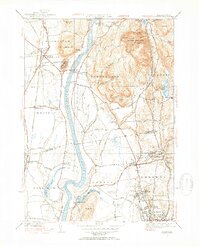
Other maps of this area

1885 · Northampton
USGS Topo · 1:62,500

1886 · Northampton
USGS Topo · 1:62,500

1887 · Warwick
USGS Topo · 1:62,500

1887 · Belchertown
USGS Topo · 1:62,500

1889 · Warwick
USGS Topo · 1:62,500

1890 · Belchertown
USGS Topo · 1:62,500

1890 · Greenfield
USGS Topo · 1:62,500

1891 · Northampton
USGS Topo · 1:62,500

1893 · Northampton
USGS Topo · 1:62,500

1893 · Belchertown
USGS Topo · 1:62,500