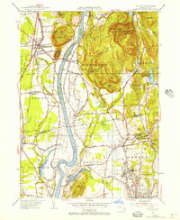
1955 Map of Mt Toby
USGS Topo · Published 1956About this map
The Connecticut River carves a deep path through this mid-century Pioneer Valley landscape, flanked by the prominent elevations of Mt Toby and the twin peaks of North Sugarloaf Mtn and South Sugarloaf Mtn. The river's winding course creates fertile bottomlands that support the dispersed farming settlements of Bradstreet, North Hadley, and Russellville. To the east, the growing campus of the University of Massachusetts at Amherst is clearly defined, situated near the quiet grounds of Wildwood Cemetery and the industrial echo of Factory Hollow.
Find a feature on this map
75 named features on this map. Tap any name to fly to it.
Don’t see what you’re looking for? This feature index may not catch every label — zoom into the map to look around manually.
Map Details
Editions of this 1955 Mt Toby Map
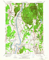
2 editions found
Other maps of this area

1885 · Northampton
USGS Topo · 1:62,500

1886 · Northampton
USGS Topo · 1:62,500

1887 · Warwick
USGS Topo · 1:62,500

1887 · Belchertown
USGS Topo · 1:62,500

1889 · Warwick
USGS Topo · 1:62,500

1890 · Belchertown
USGS Topo · 1:62,500

1890 · Greenfield
USGS Topo · 1:62,500

1891 · Northampton
USGS Topo · 1:62,500

1893 · Northampton
USGS Topo · 1:62,500

1893 · Belchertown
USGS Topo · 1:62,500