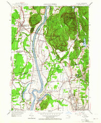
1955 Map of Mt Toby
USGS Topo · Published 1964About this map
Mt Sugarloaf State Reservation overlooks the broad valley of the Connecticut River in this mid-century portrait of the Pioneer Valley. The landscape transitions from the wooded peaks of the Pocumtuck Range and Mt Toby State Forest to the fertile agricultural plains of Sunderland and Whately. Industrial and academic growth is evident, notably at the University of Massachusetts in Amherst, while older rail-dependent infrastructure remains visible through the Boston and Maine Railroad and the Whately Sta., which served the outlying hamlets. Small milling communities and rural post offices, such as Factory Hollow and East Whately P.O., anchor the local geography. The map reveals a complex network of drainage and water management, from the State Fish Hatchery to the extensive Great Swamp, illustrating how the region's topography dictated its settlement patterns.
Find a feature on this map
85 named features on this map. Tap any name to fly to it.
Don’t see what you’re looking for? This feature index may not catch every label — zoom into the map to look around manually.
Map Details
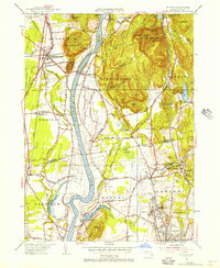
Editions of this 1955 Mt Toby Map
2 editions found
Other maps of this area

1885 · Northampton
USGS Topo · 1:62,500

1886 · Northampton
USGS Topo · 1:62,500

1887 · Warwick
USGS Topo · 1:62,500

1887 · Belchertown
USGS Topo · 1:62,500

1889 · Warwick
USGS Topo · 1:62,500

1890 · Belchertown
USGS Topo · 1:62,500

1890 · Greenfield
USGS Topo · 1:62,500

1891 · Northampton
USGS Topo · 1:62,500

1893 · Northampton
USGS Topo · 1:62,500

1893 · Belchertown
USGS Topo · 1:62,500