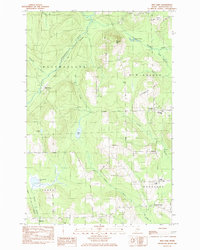
1985 Map of Mud Lake
USGS Topo · Published 1985About this map
Woodland and New Sweden townships define this corner of Aroostook County, where the landscape is a network of small agricultural settlements and wooded ridges. The village of Sweden serves as a local hub, anchored by the New Sweden Consolidated Sch and connected to the surrounding countryside via Westmanland Road. Further south, the community at Woodland Center and the nearby Woodland Ch illustrate the dispersed yet organized settlement patterns of the late twentieth century.
Find a feature on this map
36 named features on this map. Tap any name to fly to it.
Don’t see what you’re looking for? This feature index may not catch every label — zoom into the map to look around manually.
Map Details
Editions of this 1985 Mud Lake Map
This is the sole edition of this map. No revisions or reprints were ever made.
Other maps of this area

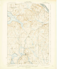
1927 · Stockholm
USGS Topo · 1:48,000

1927 · Square Lake
USGS Topo · 1:48,000

1929 · Portage
USGS Topo · 1:62,500

1929 · Caribou
USGS Topo · 1:48,000

1931 · Square Lake
USGS Topo · 1:62,500

1931 · Portage
USGS Topo · 1:62,500
1931 · Stockholm
USGS Topo · 1:62,500

1932 · Caribou
USGS Topo · 1:62,500
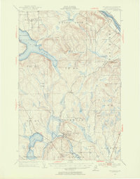
1953 · Stockholm
USGS Topo · 1:62,500
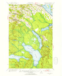
1953 · Square Lake
USGS Topo · 1:62,500