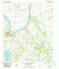
1985 Map of Mulberry
USGS Topo · Published 1985About this map
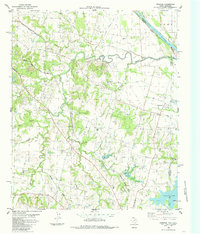
The Red River dominates this mid-1980s landscape, serving as the fluid border between Bryan County, Oklahoma and Fannin County, Texas. The river's path is marked by dramatic oxbows and secondary water features like Choctaw Slough and Caney Slough, illustrating the shifting nature of this alluvial boundary. On the Texas side, rural life is anchored by a network of country churches and small family burial grounds, including Fairview Ch and its neighboring Fairview Cem, as well as Parker Grove Ch. To the south, the artificial shoreline of Valley Lake stands in contrast to the natural winding course of Caney Creek and Murphy Creek. The presence of a Landing Strip and a Powerplant near the lake indicates the intersection of agricultural tradition and modern infrastructure in this river-bottom region.
Find a feature on this map
41 named features on this map. Tap any name to fly to it.
Don’t see what you’re looking for? This feature index may not catch every label — zoom into the map to look around manually.
Map Details
Editions of this 1985 Mulberry Map
This is the sole edition of this map. No revisions or reprints were ever made.
Other maps of this area

1954 · Sherman
USGS Topo · 1:250,000

1957 · Wade
USGS Topo · 1:62,500

1958 · Durant
USGS Topo · 1:62,500

1958 · Bonham
USGS Topo · 1:62,500

1958 · Whitesright
USGS Topo · 1:62,500

1958 · Sherman
USGS Topo · 1:250,000
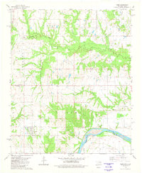
1980 · Kemp
USGS Topo · 1:24,000
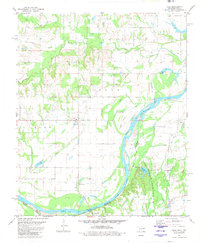
1980 · Yuba
USGS Topo · 1:24,000
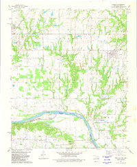
1980 · Achille
USGS Topo · 1:24,000
1984 · Ambrose
USGS Topo · 1:24,000