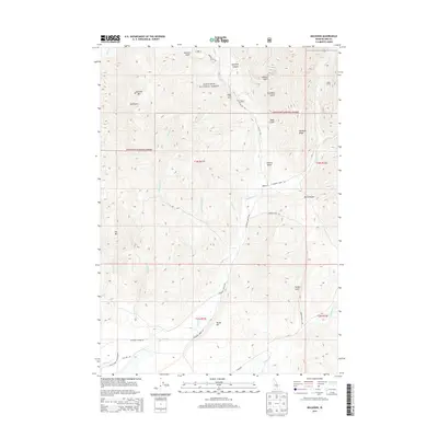
2013 Map of Muldoon
USGS Topo · Published 2013About this map
Muldoon and the high-elevation terrain of Blaine County define this section of the Sawtooth National Forest as it appeared in the early 21st century. The landscape is marked by a network of drainage systems, including Kale Cr and Kerf Cr, which carve through the steep topography of the Idaho backcountry. The settlement of Rocky Bar sits within this complex canyon system, illustrating the isolated nature of mountain outposts in the region. This 2013 survey documents the modern road network and forest management boundaries, providing a clear record of the area's physical geography and minimal human footprint.
Find a feature on this map
4 named features on this map. Tap any name to fly to it.
Don’t see what you’re looking for? This feature index may not catch every label — zoom into the map to look around manually.
Map Details
Editions of this 2013 Muldoon Map
This is the sole edition of this map. No revisions or reprints were ever made.
Other maps of this area

1895 · Hailey
USGS Topo · 1:125,000

1897 · Hailey
USGS Topo · 1:125,000

1935 · MacKay
USGS Topo · 1:96,000

1955 · Idaho Falls
USGS Topo · 1:250,000

1955 · Hailey
USGS Topo · 1:250,000

1958 · Idaho Falls
USGS Topo · 1:250,000

1959 · Hailey
USGS Topo · 1:250,000

1960 · Muldoon Canyon
USGS Topo · 1:62,500

1962 · Hailey
USGS Topo · 1:250,000

1967 · Baugh Creek
USGS Topo · 1:24,000