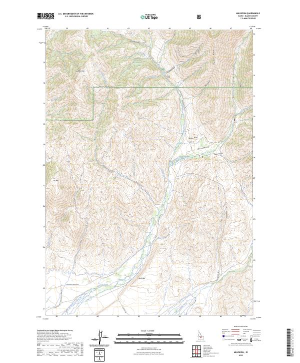
2023 Map of Muldoon
USGS Topo · Published 2023About this map
Rocky Bar sits at the southern edge of this high-elevation landscape, where the foothills meet the rising peaks of the Pioneer Mountains. The map illustrates a transition from the drainage basins of Muldoon Creek and Friedman Creek to the protected highlands of the Sawtooth National Forest. Significant peaks including Garfield Mtn and Elk Mtn dominate the northern and western reaches, while Smelter Butte stands as a distinct landmark near the fork of E Muldoon Creek Rd. The drainage network is particularly dense, with numerous gulches like Mutual Gulch and Boundary Gulch carving through Muldoon Ridge. This network of canyons and high-altitude roads, including the Muldoon Canyon Rd, reflects a landscape shaped by both natural watercourses and the logistical needs of mountain transit.
Find a feature on this map
36 named features on this map. Tap any name to fly to it.
Don’t see what you’re looking for? This feature index may not catch every label — zoom into the map to look around manually.
Map Details
Editions of this 2023 Muldoon Map
This is the sole edition of this map. No revisions or reprints were ever made.
Other maps of this area

1895 · Hailey
USGS Topo · 1:125,000

1897 · Hailey
USGS Topo · 1:125,000

1935 · MacKay
USGS Topo · 1:96,000

1955 · Idaho Falls
USGS Topo · 1:250,000

1955 · Hailey
USGS Topo · 1:250,000

1958 · Idaho Falls
USGS Topo · 1:250,000

1959 · Hailey
USGS Topo · 1:250,000

1960 · Muldoon Canyon
USGS Topo · 1:62,500

1962 · Hailey
USGS Topo · 1:250,000

1967 · Baugh Creek
USGS Topo · 1:24,000