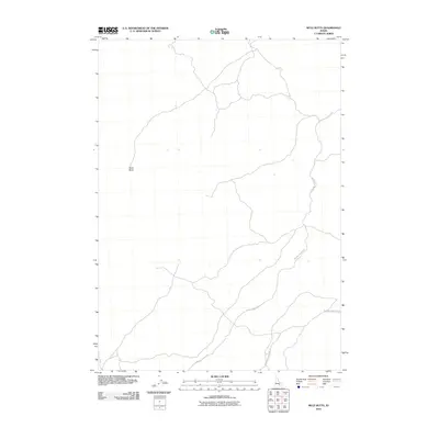
2010 Map of Mule Butte
USGS Topo · Published 2010About this map
Mule Butte serves as the central landmark for this high-desert portion of Blaine County, where the topography is defined by ancient volcanic activity. The landscape is characterized by its sparse infrastructure, dominated by long-distance tracks such as the Minidoka To Arco Rd. This route represents a historically significant corridor through the Idaho desert, connecting distant settlements across a terrain of lava flows and sagebrush. The presence of Bear Trap Lava Tube Rd in the southeastern corner points to the area's subterranean geological features, which have long been points of interest for local explorers and geologists alike. The map captures a moment in 2010 where the vast, open character of the region remains largely undisturbed by modern development, preserving the primitive road network used by ranchers and backcountry travelers.
Find a feature on this map
3 named features on this map. Tap any name to fly to it.
Don’t see what you’re looking for? This feature index may not catch every label — zoom into the map to look around manually.
Map Details
Editions of this 2010 Mule Butte Map
This is the sole edition of this map. No revisions or reprints were ever made.
Other maps of this area

1954 · Pocatello
USGS Topo · 1:250,000

1955 · Idaho Falls
USGS Topo · 1:250,000

1958 · Idaho Falls
USGS Topo · 1:250,000

1958 · Pocatello
USGS Topo · 1:250,000

1972 · Antelope Lake
USGS Topo · 1:24,000

1972 · Bear Trap Cave
USGS Topo · 1:24,000

1972 · Mule Butte
USGS Topo · 1:24,000

1972 · Bear Park SW
USGS Topo · 1:24,000

1972 · Mosby Butte
USGS Topo · 1:24,000

1972 · Bear Park East
USGS Topo · 1:24,000