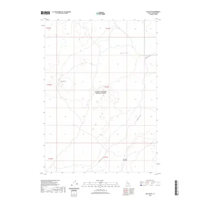
2020 Map of Mule Butte
USGS Topo · Published 2020About this map
Craters of the Moon National Preserve occupies much of this landscape in Blaine County, documenting a volcanic terrain defined by the Great Rift. The map reveals the specific geologic character of the Snake River Plain, highlighted by features such as the Bear Trap Lava Tube and the prominent rise of Mule Butte. Transportation through this geological area is represented by the Minidoka to Arco Rd, which cuts across the high desert terrain. This 2020 survey provides a detailed look at the public land survey system divisions, including t4s r27e and t5s r27e, which are essential for property researchers and historians studying the administrative boundaries of this volcanic region.
Find a feature on this map
11 named features on this map. Tap any name to fly to it.
Don’t see what you’re looking for? This feature index may not catch every label — zoom into the map to look around manually.
Map Details
Editions of this 2020 Mule Butte Map
This is the sole edition of this map. No revisions or reprints were ever made.
Other maps of this area

1954 · Pocatello
USGS Topo · 1:250,000

1955 · Idaho Falls
USGS Topo · 1:250,000

1958 · Idaho Falls
USGS Topo · 1:250,000

1958 · Pocatello
USGS Topo · 1:250,000

1972 · Antelope Lake
USGS Topo · 1:24,000

1972 · Bear Trap Cave
USGS Topo · 1:24,000

1972 · Mule Butte
USGS Topo · 1:24,000

1972 · Bear Park SW
USGS Topo · 1:24,000

1972 · Mosby Butte
USGS Topo · 1:24,000

1972 · Bear Park East
USGS Topo · 1:24,000