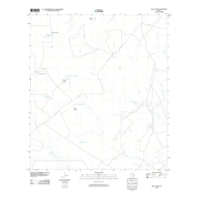
2010 Map of Mule Creek
USGS Topo · Published 2010About this map
Nueces River watercourses and ranching infrastructure define this corner of South Texas, where seasonal drainages flow toward the southern boundary of the quadrangle. The landscape is characterized by a sophisticated network of water management features, including the Big Mule Tank Dam and several structures associated with the Llano family of tanks, such as El Llano Tank Dam and Medio de Llano Tank Dam. These numerous "tanks" or stock ponds, often named for geographical or family markers, illustrate the historical reliance on catchment systems in McMullen County.
Find a feature on this map
21 named features on this map. Tap any name to fly to it.
Don’t see what you’re looking for? This feature index may not catch every label — zoom into the map to look around manually.
Map Details
Editions of this 2010 Mule Creek Map
This is the sole edition of this map. No revisions or reprints were ever made.
Other maps of this area

1925 · Tilden No. 1
USGS Topo · 1:48,000

1930 · Tilden
USGS Topo · 1:62,500

1937 · Loma Alta
USGS Topo · 1:62,500

1942 · Fowlerton
USGS Topo · 1:62,500

1942 · Tilden
USGS Topo · 1:62,500

1953 · Crystal City
USGS Topo · 1:250,000

1955 · Crystal City
USGS Topo · 1:250,000

1956 · Piedra Creek
USGS Topo · 1:62,500

1956 · Fowlerton
USGS Topo · 1:62,500

1961 · Crystal City
USGS Topo · 1:250,000