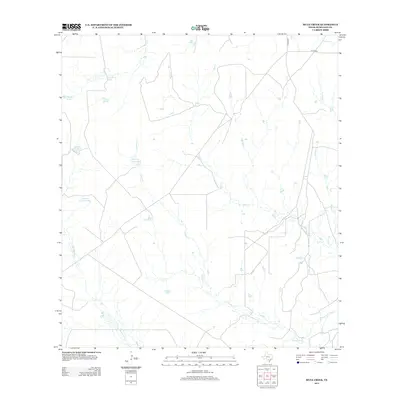
2013 Map of Mule Creek
USGS Topo · Published 2013About this map
The Nueces River serves as the primary drainage for this segment of McMullen County, defining a landscape of ephemeral watercourses and livestock infrastructure in the South Texas Brush Country. The map reveals a complex network of seasonal creeks including Mule Cr, Caballo Cr, and Guadalupe Cr, which feed into the main river channel. This arid environment is characterized by the presence of numerous artificial catchments and water features essential for ranching operations, such as Big Mule Tank, Llano Grande Tank, and Esquina Llano Tank. Settlement is sparse, represented primarily by rural routes like Martin Rd and the B Turman road, indicating an area dedicated to large-scale ranching and mineral exploration. The presence of Elm Slue and Dully Lake near the river bottom highlights the few permanent or semi-permanent water bodies in this otherwise dry terrain.
Find a feature on this map
17 named features on this map. Tap any name to fly to it.
Don’t see what you’re looking for? This feature index may not catch every label — zoom into the map to look around manually.
Map Details
Editions of this 2013 Mule Creek Map
This is the sole edition of this map. No revisions or reprints were ever made.
Other maps of this area

1925 · Tilden No. 1
USGS Topo · 1:48,000

1930 · Tilden
USGS Topo · 1:62,500

1937 · Loma Alta
USGS Topo · 1:62,500

1942 · Fowlerton
USGS Topo · 1:62,500

1942 · Tilden
USGS Topo · 1:62,500

1953 · Crystal City
USGS Topo · 1:250,000

1955 · Crystal City
USGS Topo · 1:250,000

1956 · Piedra Creek
USGS Topo · 1:62,500

1956 · Fowlerton
USGS Topo · 1:62,500

1961 · Crystal City
USGS Topo · 1:250,000