
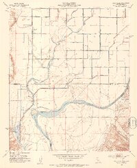
1952 Map of Mule Wash
USGS Topo · Published 1953About this map
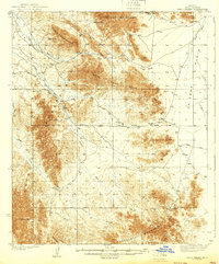
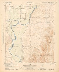
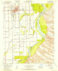
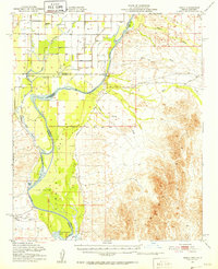
The Colorado River serves as the focal point of this desert landscape, delineating the approximate boundary between California and Arizona in the early 1950s. The western edge of the map reveals the irrigation-focused topography of the Palo Verde Valley, where human activity is marked by a remote Landing Strip and a network of levees and canals. In stark contrast, the eastern portion of the survey is dominated by the dry, labyrinthine drainage systems of the Trigo Mountains. Extensive ephemeral waterways like Mule Wash, Petes Wash, and the evocatively named Crazy Woman Wash weave through the arid terrain. Transportation in this era was limited to rugged jeep trails and the unpaved Cibola Road, illustrating the isolation of the region before modern infrastructure expanded along the river corridor.
Find a feature on this map
16 named features on this map. Tap any name to fly to it.
Don’t see what you’re looking for? This feature index may not catch every label — zoom into the map to look around manually.
Map Details
Editions of this 1952 Mule Wash Map
This is the sole edition of this map. No revisions or reprints were ever made.
Other maps of this area

1933 · Cunningham Mtn
USGS Topo · 1:48,000

1934 · Trigo Peaks
USGS Topo · 1:48,000
1939 · Trigo Peaks
USGS Topo · 1:62,500

1940 · Dome Rock Mts
USGS Topo · 1:62,500

1942 · Blythe
USGS Topo · 1:250,000
1945 · Cibola
USGS Topo · 1:62,500
1951 · Blythe
USGS Topo · 1:24,000
1951 · Cibola
USGS Topo · 1:62,500
1952 · Palo Verde
USGS Topo · 1:24,000
1952 · Ripley
USGS Topo · 1:24,000