
1952 Map of Palo Verde
USGS Topo · Published 1953About this map
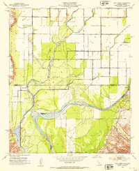
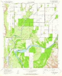
The Palo Verde Valley is defined by a dense grid of irrigation infrastructure and the shifting path of the Colorado River along the California-Arizona border. In this 1952 study, the landscape is transitioning from early desert outposts to a structured agricultural district, evidenced by the extensive canal network including the C-18 Canal and C-24 Canal. While the settlement of Palo Verde remains a focal point, the map identifies former locations like Rannells (Site) and Taylor Ferry (Site), indicating the transient nature of early river-bound development. The contrast between the level valley floor and the rising Palo Verde Mesa illustrates the geographic limits of early 20th-century water engineering, where local drainage like Gould Wash and Woman Wash cuts through the desert terrain toward the river.
Find a feature on this map
25 named features on this map. Tap any name to fly to it.
Don’t see what you’re looking for? This feature index may not catch every label — zoom into the map to look around manually.
Map Details
Editions of this 1952 Palo Verde Map
3 editions found
Other maps of this area

1942 · Blythe
USGS Topo · 1:250,000

1945 · Cibola
USGS Topo · 1:62,500

1951 · Blythe
USGS Topo · 1:24,000

1951 · Cibola
USGS Topo · 1:62,500

1952 · Mule Wash
USGS Topo · 1:24,000

1952 · Mc Coy Spring
USGS Topo · 1:62,500

1952 · Ripley
USGS Topo · 1:24,000

1953 · Palo Verde Mountains
USGS Topo · 1:62,500

1954 · Salton Sea
USGS Topo · 1:250,000

1955 · Salton Sea
USGS Topo · 1:250,000