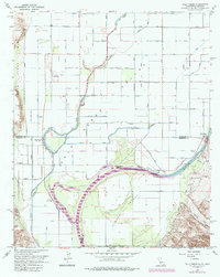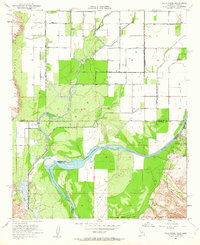
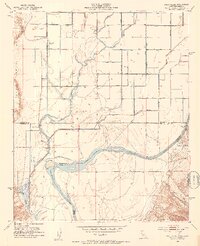
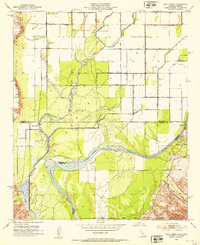
1952 Map of Palo Verde
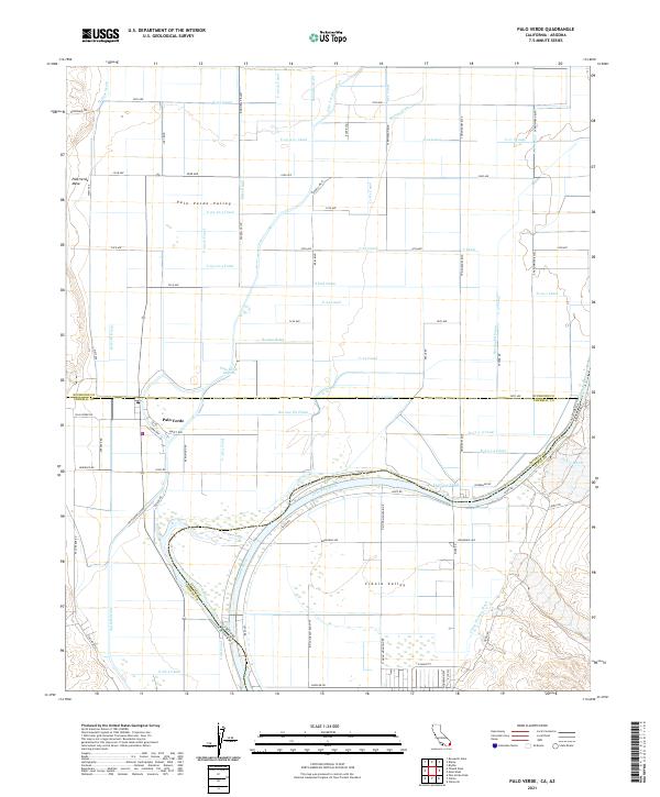
USGS Topo · Published 1963About this map
Palo Verde and the surrounding Cibola Valley are defined by the intricate relationship between the Colorado River and a complex irrigation network of canals. Established just after mid-century, this landscape shows the early transition from river-dependent agriculture to more structured water management via the C-16 Canal and C-24 Canal systems. The map captures the lower desert valley during a period of agricultural expansion, marking the location of early settlements like the Rannells (Site) and the Taylor Ferry (Site), which point to the area's history as a river crossing point. The topography shifts from the low-lying Palo Verde Lagoon to the elevated Palo Verde Mesa, while the Gila and Salt River Base Line serves as a critical surveying anchor for the region.
Find a feature on this map
28 named features on this map. Tap any name to fly to it.
Don’t see what you’re looking for? This feature index may not catch every label — zoom into the map to look around manually.
Map Details
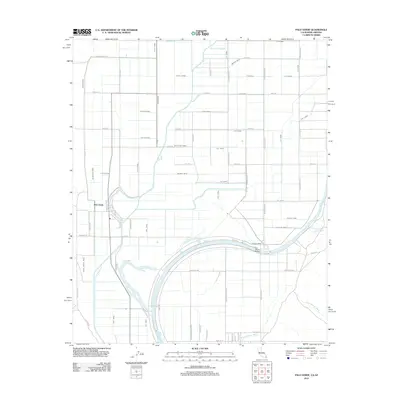
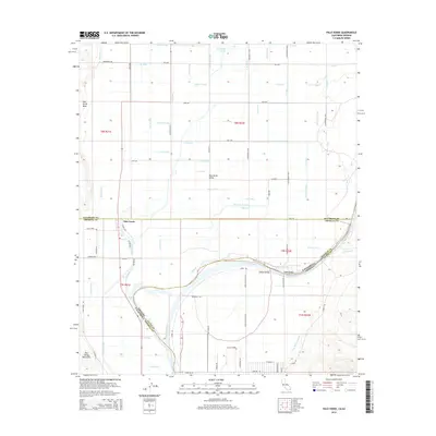
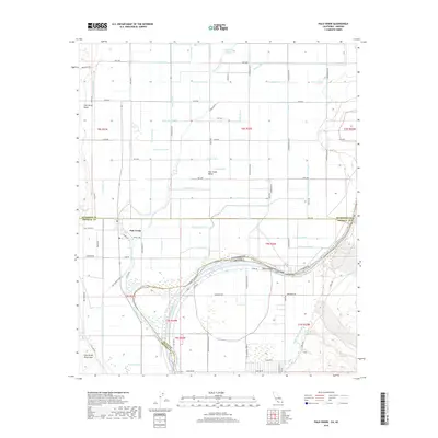
Editions of this 1952 Palo Verde Map
3 editions found
Historical Maps of Cibola Through Time
6 maps found