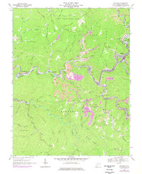
1967 Map of Mullens
USGS Topo · Published 1977About this map
The Guyandotte River winds through a landscape defined by intensive coal extraction and mountain ridges in this late-1960s survey. Industrial activity is centered on the Norfolk and Western rail corridor, which connects coal-loading points at Itmann, Elmore, and Tralee. Numerous Strip Mines and associated tailings ponds mark the hillsides, particularly near Mullens and Otsego, while a compressor station and multiple substations suggest the high energy demands of the local mining operations.
Find a feature on this map
67 named features on this map. Tap any name to fly to it.
Don’t see what you’re looking for? This feature index may not catch every label — zoom into the map to look around manually.
Map Details
Editions of this 1967 Mullens Map
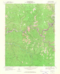
2 editions found
Other maps of this area

1887 · Pocahontas
USGS Topo · 1:125,000

1891 · Tazewell
USGS Topo · 1:125,000

1891 · Pocahontas
USGS Topo · 1:125,000

1891 · Oceana
USGS Topo · 1:125,000

1891 · Raleigh
USGS Topo · 1:125,000

1893 · Oceana
USGS Topo · 1:125,000

1894 · Pocahontas
USGS Topo · 1:125,000

1895 · Tazewell
USGS Topo · 1:125,000

1895 · Pocahontas
USGS Topo · 1:125,000

1897 · Tazewell
USGS Topo · 1:125,000