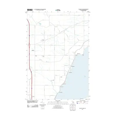
2011 Map of Mullett Lake
USGS Topo · Published 2011About this map
Mullett Lake and its western shoreline define the landscape of this northern Michigan region. The settlement pattern reveals a history of distinct community identity, particularly visible in the density of specialized burial grounds including the Polish Cemetery, Mount Calvary Polish Cemetery, and Saint John's German Lutheran Cemetery. These sites, along with the African-American Cemetery, indicate a diverse heritage of immigration and labor in the rural reaches of Cheboygan County.
Find a feature on this map
67 named features on this map. Tap any name to fly to it.
Don’t see what you’re looking for? This feature index may not catch every label — zoom into the map to look around manually.
Map Details
Editions of this 2011 Mullett Lake Map
This is the sole edition of this map. No revisions or reprints were ever made.
Other maps of this area

1955 · Cheboygan
USGS Topo · 1:250,000

1957 · Tower
USGS Topo · 1:62,500

1957 · Wolverine
USGS Topo · 1:62,500

1957 · Cheboygan
USGS Topo · 1:62,500

1957 · Mullett Lake
USGS Topo · 1:62,500

1958 · Cheboygan
USGS Topo · 1:250,000

1982 · Petoskey
USGS Topo · 1:100,000

1982 · Cheboygan
USGS Topo · 1:25,000

1982 · Point Nipigon
USGS Topo · 1:25,000

1982 · Aloha
USGS Topo · 1:25,000