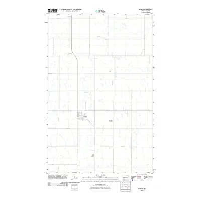
2011 Map of Munich
USGS Topo · Published 2011About this map
Munich sits at the heart of this Cavalier County landscape, characterized by a structured grid of rural roads and scattered prairie potholes. The town layout is defined by its street-and-avenue system, featuring prominent thoroughfares like Pacific Ave, Main St, and Griffin St. This 2011 survey documents the agricultural character of the region, where the flat terrain is punctuated only by occasional water bodies and carefully placed rural burial grounds. Three distinct cemeteries—Zion Cemetery, East Salem Cemetery, and South Salem Cemetery—are situated around the periphery of the town, providing valuable geographic points of reference for local historians and genealogists researching the families of this North Dakota community.
Find a feature on this map
26 named features on this map. Tap any name to fly to it.
Don’t see what you’re looking for? This feature index may not catch every label — zoom into the map to look around manually.
Map Details
Editions of this 2011 Munich Map
This is the sole edition of this map. No revisions or reprints were ever made.
Other maps of this area

1953 · Devils Lake
USGS Topo · 1:250,000

1956 · Devils Lake
USGS Topo · 1:250,000

1970 · Alsen
USGS Topo · 1:24,000

1970 · Calvin
USGS Topo · 1:24,000

1970 · Sarles SE
USGS Topo · 1:24,000

1970 · Hannah SW
USGS Topo · 1:24,000

1970 · Hampden
USGS Topo · 1:24,000

1970 · Munich
USGS Topo · 1:24,000

1971 · Calio
USGS Topo · 1:24,000

1971 · Munich SW
USGS Topo · 1:24,000