
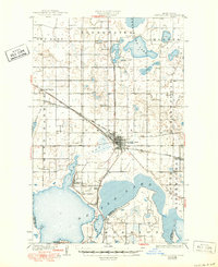
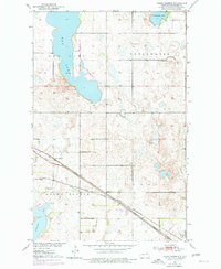
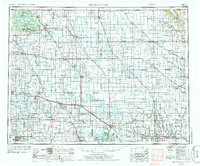
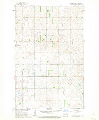
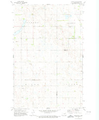
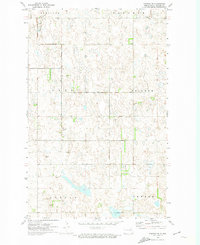
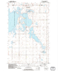
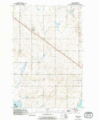
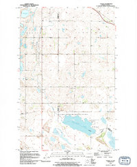
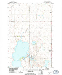
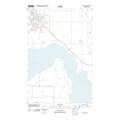
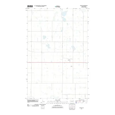
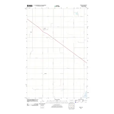
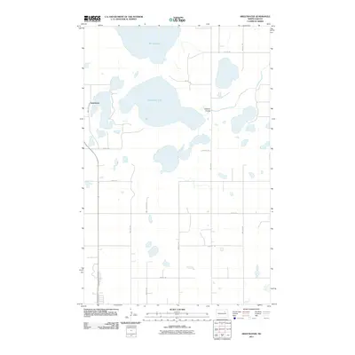
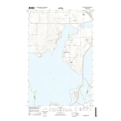
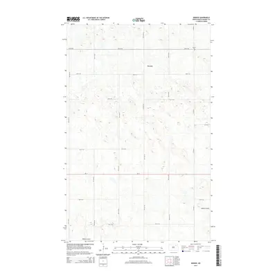
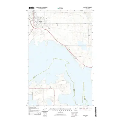
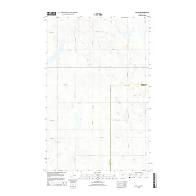
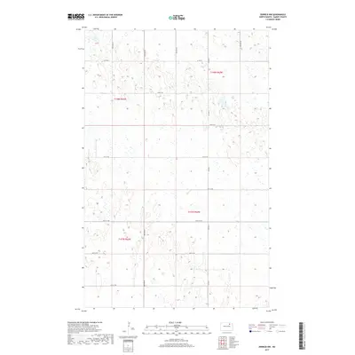
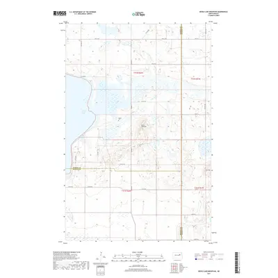
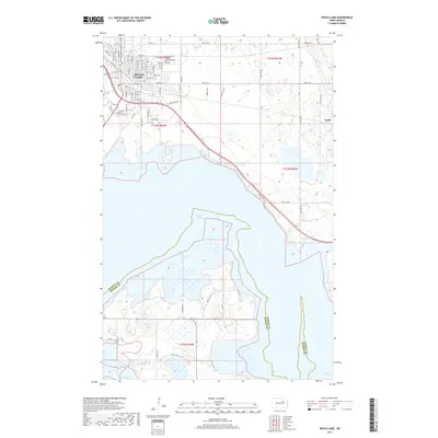
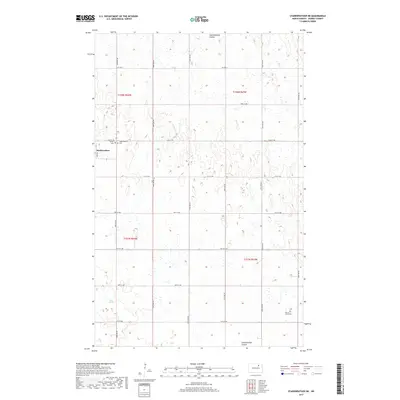
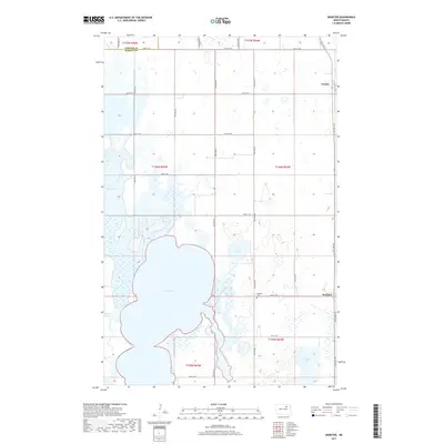
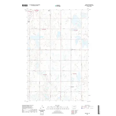
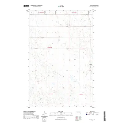
1956 Map of Devils Lake
USGS Topo · Published 1956About this map
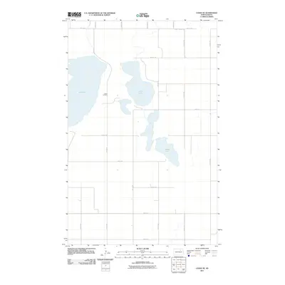
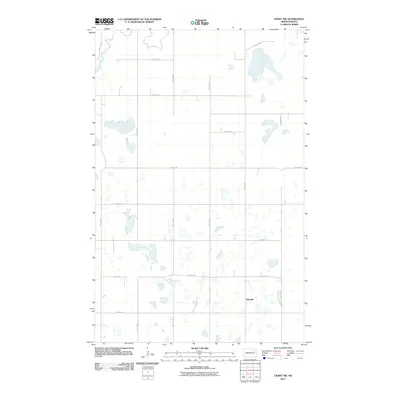
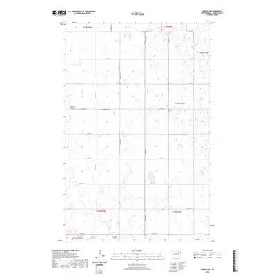
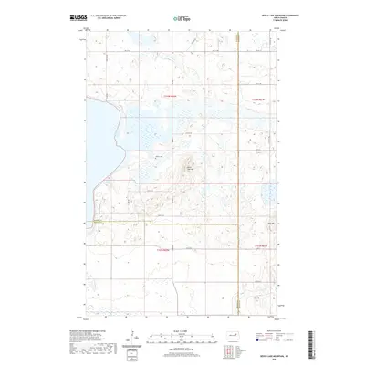
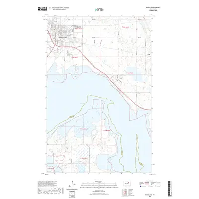
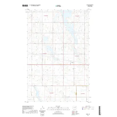
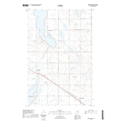
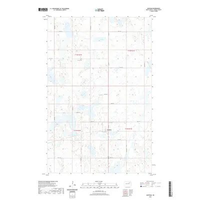
Turtle Mountain Indian Reservation sits at the northern edge of this mid-century landscape, bordering the Canada-United States line. The region is defined by a dense grid of grain-hauling rail lines, including the Great Northern and the Minneapolis St Paul and Sault Ste Marie (Soo Line), which connect a network of prairie elevators and small settlements like Rolla, Langdon, and Munich. The geography is characterized by numerous potholes and glacial lakes such as Rock Lake and Island Lake. To the south, the Fort Totten Indian Reservation and Sullys Hill National Game Preserve overlook the complex waters of Devils Lake. Detailed landmarks like the Rose Hill School and St Alphonse Church offer points of interest for those tracing family history in the rural townships of Towner, Cavalier, and Ramsey counties.
Find a feature on this map
175 named features on this map. Tap any name to fly to it.
Don’t see what you’re looking for? This feature index may not catch every label — zoom into the map to look around manually.
Map Details
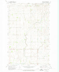
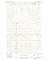
Editions of this 1956 Devils Lake Map
This is the sole edition of this map. No revisions or reprints were ever made.
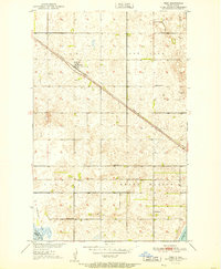
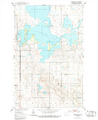
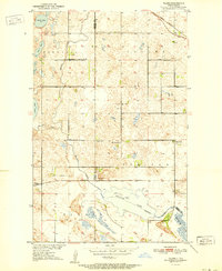
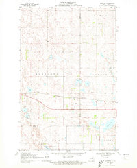
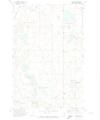
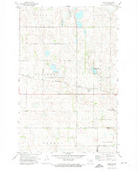
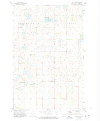
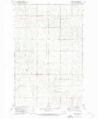
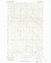
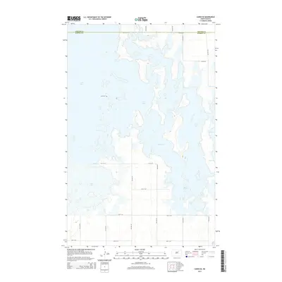
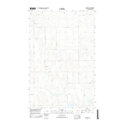
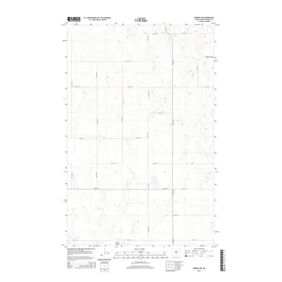
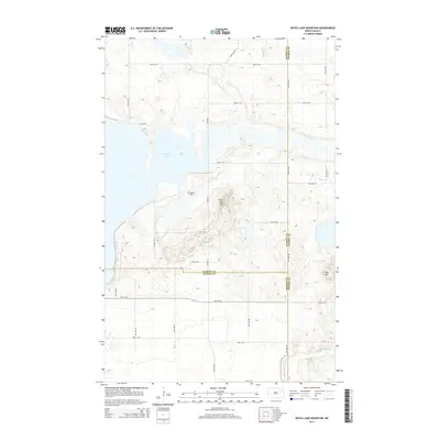
Historical Maps of Devils Lake Through Time
144 maps found
1931 Devils Lake
Ramsey County, ND

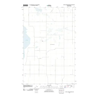
1950 Devils Lake Mountain
Ramsey County, ND
1950 Devils Lake
Ramsey County, ND
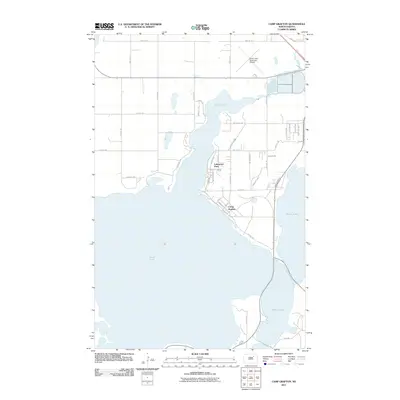
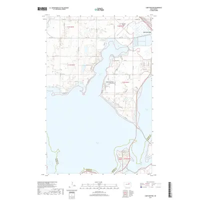
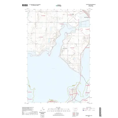
1951 Camp Grafton
Ramsey County, ND

1951 Devils Lake Mountain
Ramsey County, ND
1951 Devils Lake
Ramsey County, ND
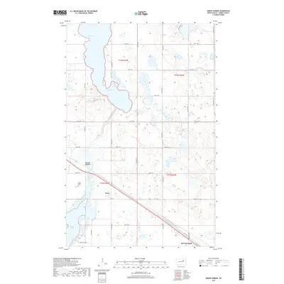
1951 Grand Harbor
Ramsey County, ND
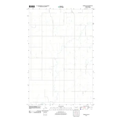
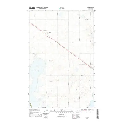
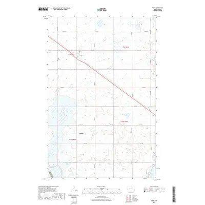
1951 Penn
Ramsey County, ND
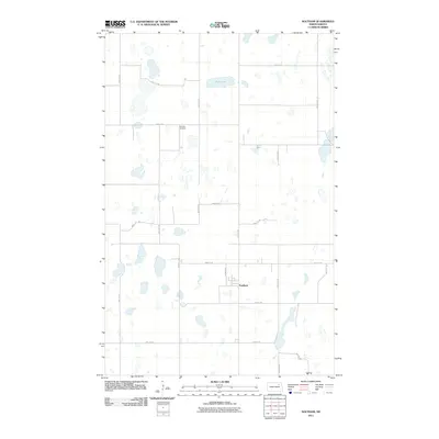
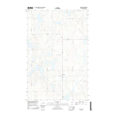
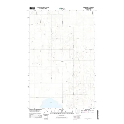
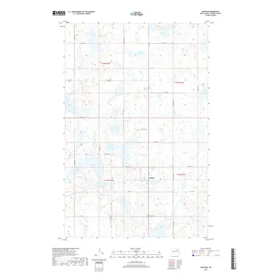
1951 Sweetwater
Ramsey County, ND
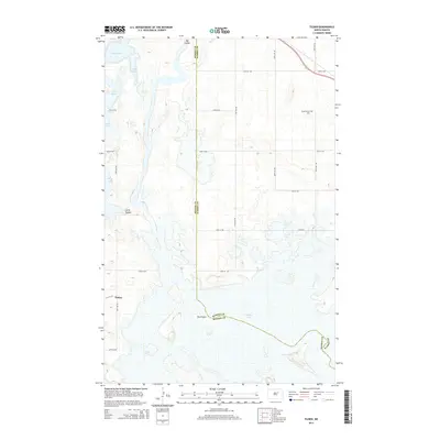
1951 Tilden
Ramsey County, ND
1953 Devils Lake
Ramsey County, ND
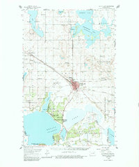
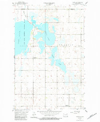
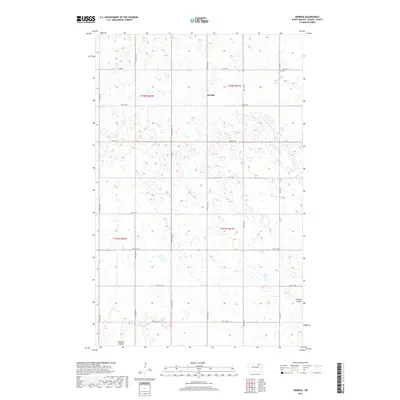
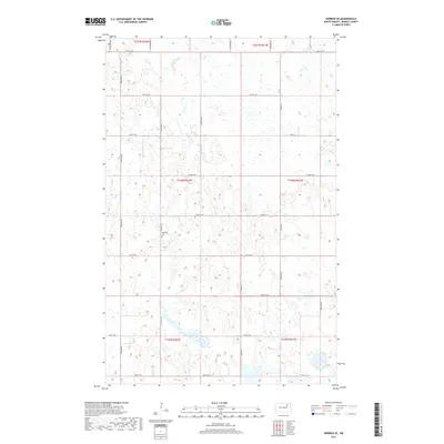
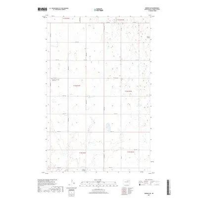
1956 Devils Lake
Ramsey County, ND
1957 Cando SE
Ramsey County, ND
1957 Starkweather SE
Ramsey County, ND
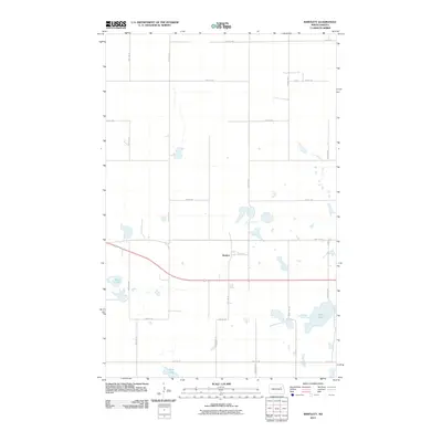
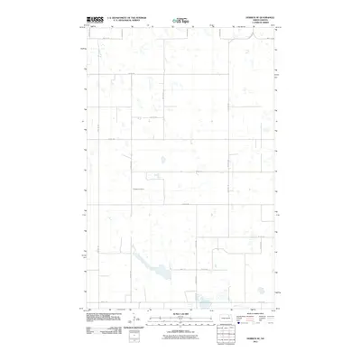
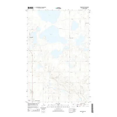
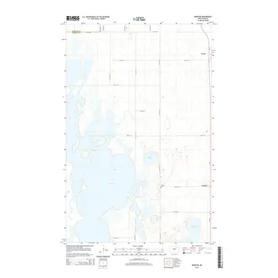
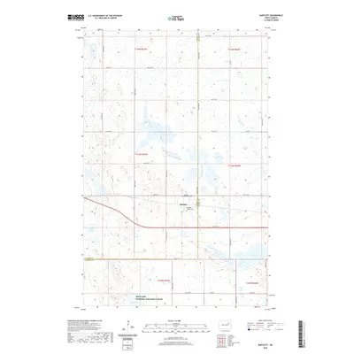
1957 Webster
Ramsey County, ND
1962 Starkweather NE
Ramsey County, ND
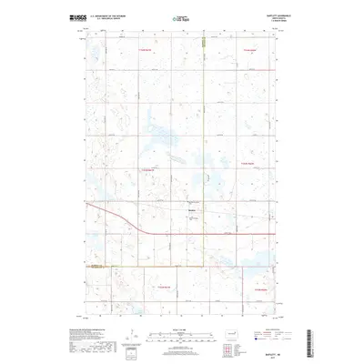
1970 Bartlett
Ramsey County, ND
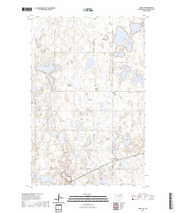
1971 Crary NW
Ramsey County, ND
1971 Doyon
Ramsey County, ND
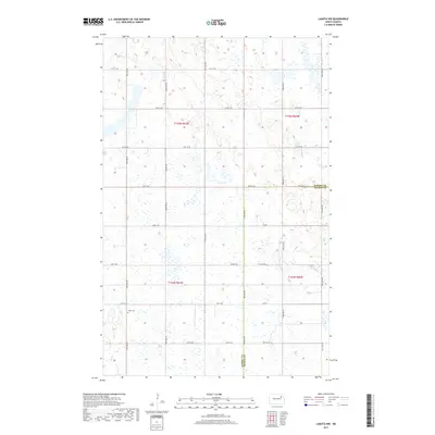
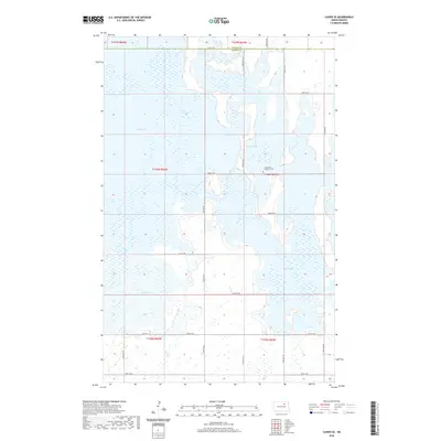
1971 Lakota NW
Ramsey County, ND
1971 Southam
Ramsey County, ND
1972 Derrick NW
Ramsey County, ND
1972 Derrick
Ramsey County, ND
1972 Derrick SE
Ramsey County, ND
1972 Derrick SW
Ramsey County, ND
1972 Edmore SW
Ramsey County, ND

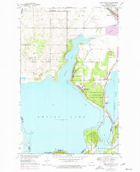
1985 Devils Lake
Ramsey County, ND

1993 Devils Lake
Ramsey County, ND
1994 Camp Grafton
Ramsey County, ND
1994 Cando SE
Ramsey County, ND
1994 Derrick NW
Ramsey County, ND
1994 Devils Lake
Ramsey County, ND
1994 Grand Harbor
Ramsey County, ND
1994 Penn
Ramsey County, ND
1994 Starkweather NE
Ramsey County, ND
1994 Starkweather SE
Ramsey County, ND
1994 Sweetwater
Ramsey County, ND
1994 Tilden
Ramsey County, ND
1994 Webster
Ramsey County, ND
2011 Bartlett
Ramsey County, ND
2011 Camp Grafton
Ramsey County, ND
2011 Cando SE
Ramsey County, ND
2011 Crary NW
Ramsey County, ND
2011 Derrick NW
Ramsey County, ND
2011 Derrick
Ramsey County, ND
2011 Derrick SE
Ramsey County, ND
2011 Derrick SW
Ramsey County, ND
2011 Devils Lake Mountain
Ramsey County, ND
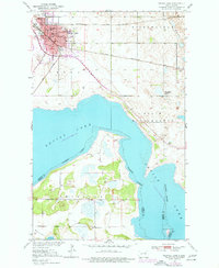
2011 Devils Lake
Ramsey County, ND
2011 Doyon
Ramsey County, ND
2011 Edmore SW
Ramsey County, ND
2011 Grand Harbor
Ramsey County, ND
2011 Lakota NW
Ramsey County, ND
2011 Penn
Ramsey County, ND
2011 Southam
Ramsey County, ND
2011 Starkweather NE
Ramsey County, ND
2011 Starkweather SE
Ramsey County, ND
2011 Sweetwater
Ramsey County, ND
2011 Tilden
Ramsey County, ND
2011 Webster
Ramsey County, ND
2014 Bartlett
Ramsey County, ND
2014 Camp Grafton
Ramsey County, ND
2014 Cando SE
Ramsey County, ND
2014 Crary NW
Ramsey County, ND
2014 Derrick NW
Ramsey County, ND
2014 Derrick
Ramsey County, ND
2014 Derrick SE
Ramsey County, ND
2014 Derrick SW
Ramsey County, ND
2014 Devils Lake Mountain
Ramsey County, ND
2014 Devils Lake
Ramsey County, ND
2014 Doyon
Ramsey County, ND
2014 Edmore SW
Ramsey County, ND
2014 Grand Harbor
Ramsey County, ND
2014 Lakota NW
Ramsey County, ND
2014 Penn
Ramsey County, ND
2014 Southam
Ramsey County, ND
2014 Starkweather NE
Ramsey County, ND
2014 Starkweather SE
Ramsey County, ND
2014 Sweetwater
Ramsey County, ND
2014 Tilden
Ramsey County, ND
2014 Webster
Ramsey County, ND
2017 Bartlett
Ramsey County, ND
2017 Camp Grafton
Ramsey County, ND
2017 Cando SE
Ramsey County, ND
2017 Crary NW
Ramsey County, ND
2017 Derrick NW
Ramsey County, ND
2017 Derrick
Ramsey County, ND
2017 Derrick SE
Ramsey County, ND
2017 Derrick SW
Ramsey County, ND
2017 Devils Lake Mountain
Ramsey County, ND
2017 Devils Lake
Ramsey County, ND
2017 Doyon
Ramsey County, ND
2017 Edmore SW
Ramsey County, ND
2017 Grand Harbor
Ramsey County, ND
2017 Lakota NW
Ramsey County, ND
2017 Penn
Ramsey County, ND
2017 Southam
Ramsey County, ND
2017 Starkweather NE
Ramsey County, ND
2017 Starkweather SE
Ramsey County, ND
2017 Sweetwater
Ramsey County, ND
2017 Tilden
Ramsey County, ND
2017 Webster
Ramsey County, ND
2020 Bartlett
Ramsey County, ND
2020 Camp Grafton
Ramsey County, ND
2020 Cando SE
Ramsey County, ND
2020 Crary NW
Ramsey County, ND
2020 Derrick NW
Ramsey County, ND
2020 Derrick
Ramsey County, ND
2020 Derrick SE
Ramsey County, ND
2020 Derrick SW
Ramsey County, ND
2020 Devils Lake Mountain
Ramsey County, ND
2020 Devils Lake
Ramsey County, ND
2020 Doyon
Ramsey County, ND
2020 Edmore SW
Ramsey County, ND
2020 Grand Harbor
Ramsey County, ND
2020 Lakota NW
Ramsey County, ND
2020 Penn
Ramsey County, ND
2020 Southam
Ramsey County, ND
2020 Starkweather NE
Ramsey County, ND

2020 Starkweather SE
Ramsey County, ND
2020 Sweetwater
Ramsey County, ND
2020 Tilden
Ramsey County, ND

2020 Webster
Ramsey County, ND
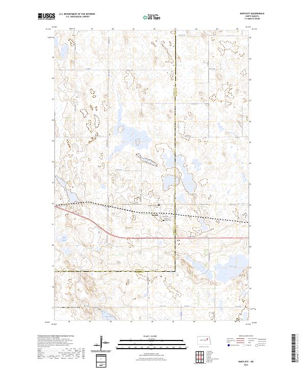
2024 Bartlett
Ramsey County, ND
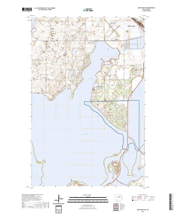
2024 Camp Grafton
Ramsey County, ND
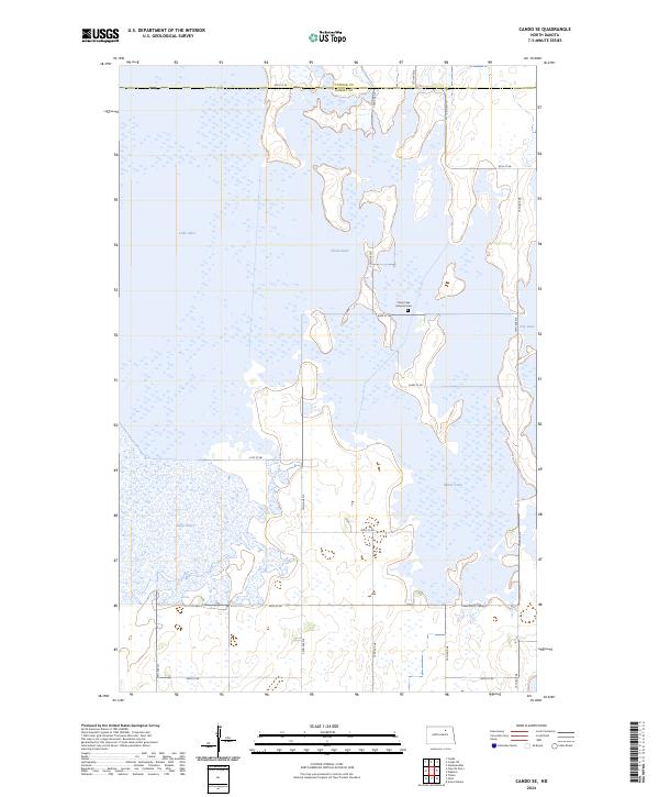
2024 Cando SE
Ramsey County, ND
2024 Crary NW
Ramsey County, ND
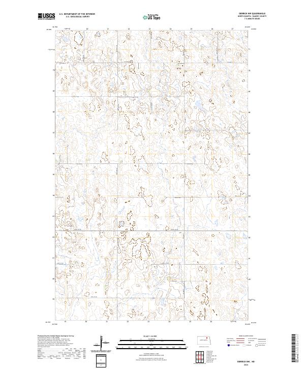
2024 Derrick NW
Ramsey County, ND
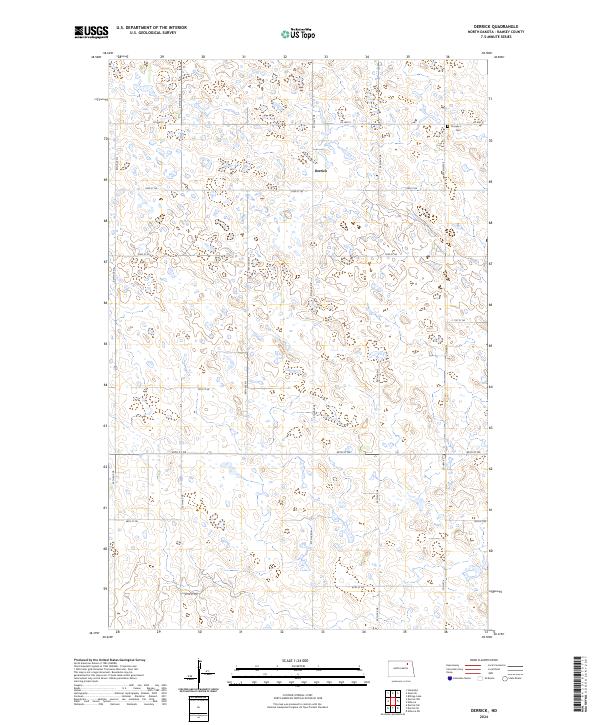
2024 Derrick
Ramsey County, ND
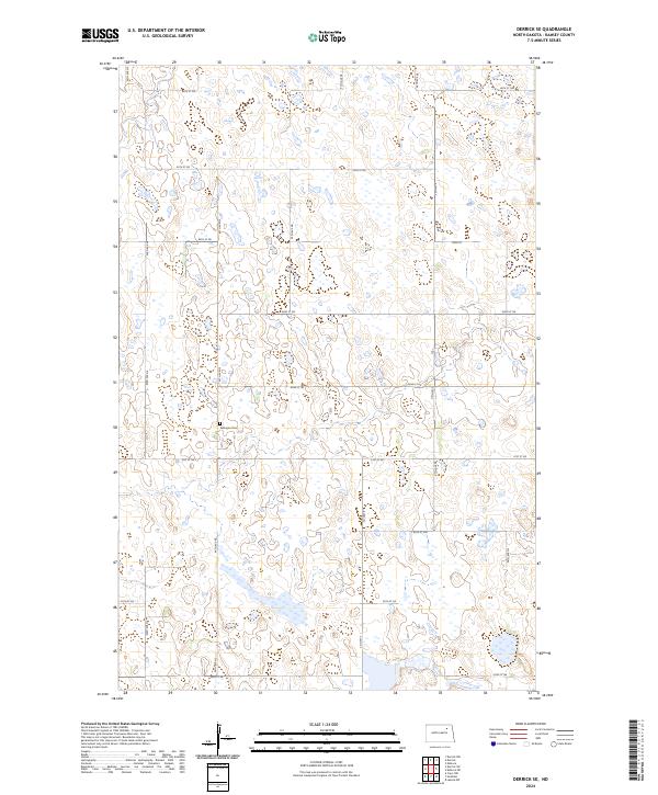
2024 Derrick SE
Ramsey County, ND

2024 Derrick SW
Ramsey County, ND
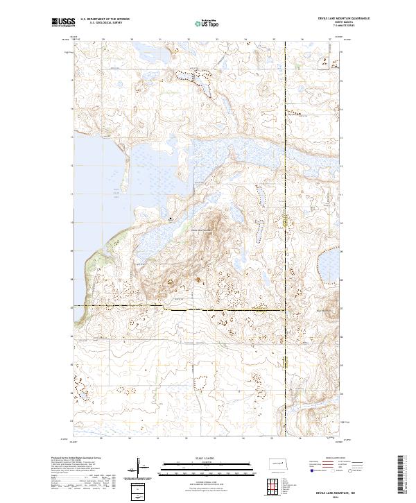
2024 Devils Lake Mountain
Ramsey County, ND
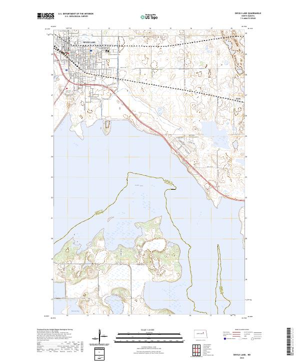
2024 Devils Lake
Ramsey County, ND
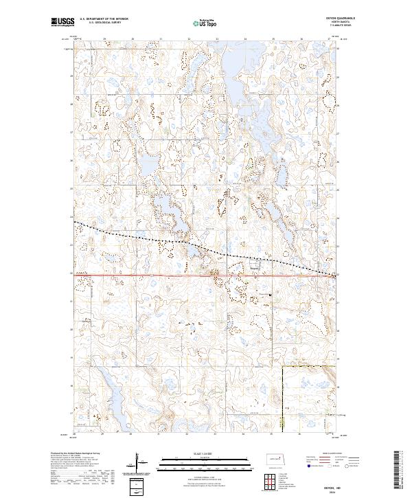
2024 Doyon
Ramsey County, ND
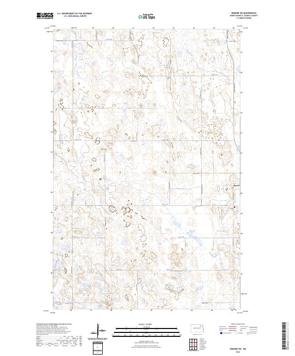
2024 Edmore SW
Ramsey County, ND
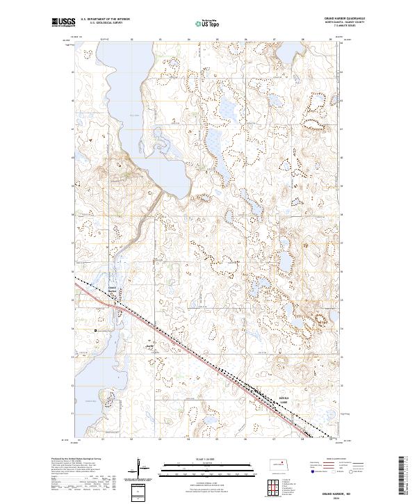
2024 Grand Harbor
Ramsey County, ND
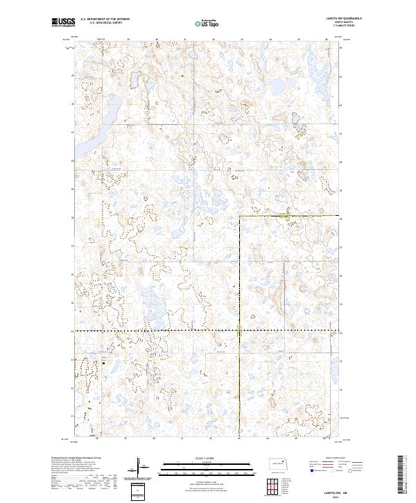
2024 Lakota NW
Ramsey County, ND
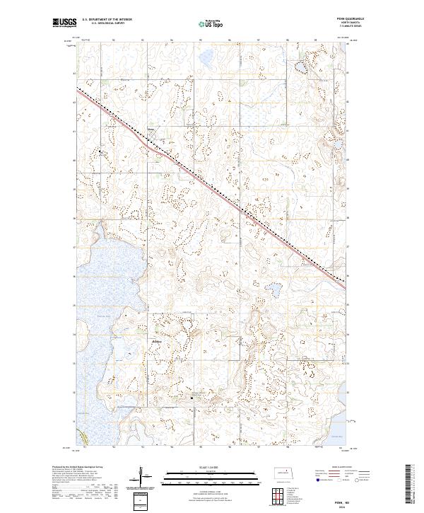
2024 Penn
Ramsey County, ND
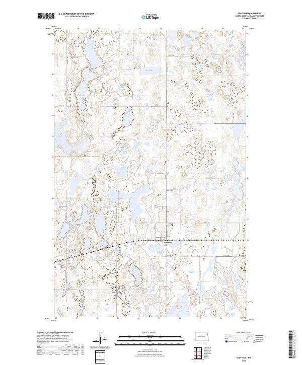
2024 Southam
Ramsey County, ND
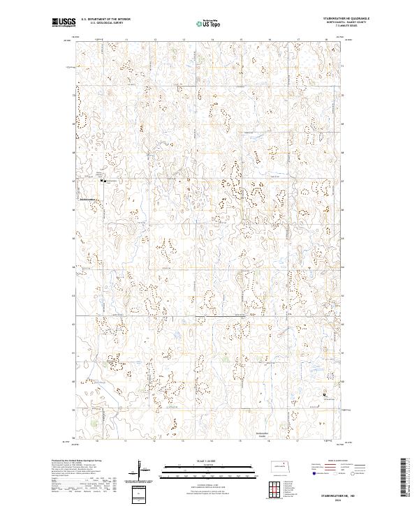
2024 Starkweather NE
Ramsey County, ND
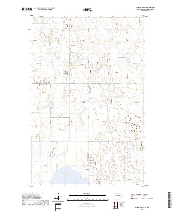
2024 Starkweather SE
Ramsey County, ND
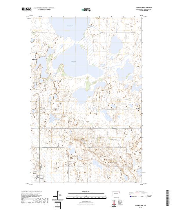
2024 Sweetwater
Ramsey County, ND
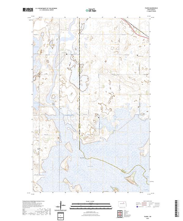
2024 Tilden
Ramsey County, ND
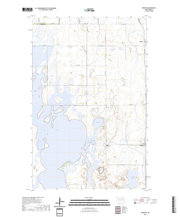
2024 Webster
Ramsey County, ND