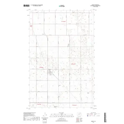
2017 Map of Munich
USGS Topo · Published 2017About this map
Munich sits as a primary hub of settlement in this North Dakota landscape, defined by a grid of agricultural section lines and township boundaries such as t160n r64w. The town center is detailed with local thoroughfares including Main St, Pacific Ave, and Griffin St, providing a clear view of the community's layout. To the southeast, the smaller village of Alsen marks another pocket of development amidst the vast prairie expanses.
Find a feature on this map
40 named features on this map. Tap any name to fly to it.
Don’t see what you’re looking for? This feature index may not catch every label — zoom into the map to look around manually.
Map Details
Editions of this 2017 Munich Map
This is the sole edition of this map. No revisions or reprints were ever made.
Other maps of this area

1953 · Devils Lake
USGS Topo · 1:250,000

1956 · Devils Lake
USGS Topo · 1:250,000

1970 · Alsen
USGS Topo · 1:24,000

1970 · Calvin
USGS Topo · 1:24,000

1970 · Sarles SE
USGS Topo · 1:24,000

1970 · Hannah SW
USGS Topo · 1:24,000

1970 · Hampden
USGS Topo · 1:24,000

1970 · Munich
USGS Topo · 1:24,000

1971 · Calio
USGS Topo · 1:24,000

1971 · Munich SW
USGS Topo · 1:24,000