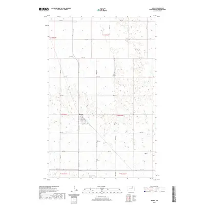
2020 Map of Munich
USGS Topo · Published 2020About this map
Munich sits at the junction of 84th Ave NE and Co Rd 24, serving as a centralized hub for this Cavalier County landscape. The town plan is clearly defined by Main St, Pacific Ave, and Griffin St, reflecting a traditional prairie settlement pattern. To the southeast, the smaller community of Alsen marks another point of habitation amidst a terrain punctuated by numerous small depressions and seasonal wetlands characteristic of the northern plains.
Find a feature on this map
35 named features on this map. Tap any name to fly to it.
Don’t see what you’re looking for? This feature index may not catch every label — zoom into the map to look around manually.
Map Details
Editions of this 2020 Munich Map
This is the sole edition of this map. No revisions or reprints were ever made.
Other maps of this area

1953 · Devils Lake
USGS Topo · 1:250,000

1956 · Devils Lake
USGS Topo · 1:250,000

1970 · Alsen
USGS Topo · 1:24,000

1970 · Calvin
USGS Topo · 1:24,000

1970 · Sarles SE
USGS Topo · 1:24,000

1970 · Hannah SW
USGS Topo · 1:24,000

1970 · Hampden
USGS Topo · 1:24,000

1970 · Munich
USGS Topo · 1:24,000

1971 · Calio
USGS Topo · 1:24,000

1971 · Munich SW
USGS Topo · 1:24,000