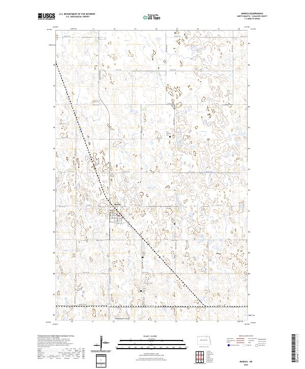
2024 Map of Munich
USGS Topo · Published 2024About this map
Munich serves as the central hub of this North Dakota agricultural landscape, where the grid of the High Plains meets the irregular patterns of countless small prairie potholes and wetlands. The town's layout is defined by its orientation along Pacific Ave, Main St, and Griffin St, reflecting a traditional prairie settlement pattern. This 2024 survey captures the area's spiritual and family history through a concentration of rural burial grounds, including Saint Marys Cem, Zion Lutheran Cem, and the divided East Salem Cem and South Salem Cem. The natural drainage of the region is traced by Starkweather Coulee in the southern portion of the quadrangle, which winds through a landscape dominated by township boundaries and a dense network of section roads such as 84th Ave NE and Co Rd 24.
Find a feature on this map
34 named features on this map. Tap any name to fly to it.
Don’t see what you’re looking for? This feature index may not catch every label — zoom into the map to look around manually.
Map Details
Editions of this 2024 Munich Map
This is the sole edition of this map. No revisions or reprints were ever made.
Other maps of this area

1953 · Devils Lake
USGS Topo · 1:250,000

1956 · Devils Lake
USGS Topo · 1:250,000

1970 · Alsen
USGS Topo · 1:24,000

1970 · Calvin
USGS Topo · 1:24,000

1970 · Sarles SE
USGS Topo · 1:24,000

1970 · Hannah SW
USGS Topo · 1:24,000

1970 · Hampden
USGS Topo · 1:24,000

1970 · Munich
USGS Topo · 1:24,000

1971 · Calio
USGS Topo · 1:24,000

1971 · Munich SW
USGS Topo · 1:24,000