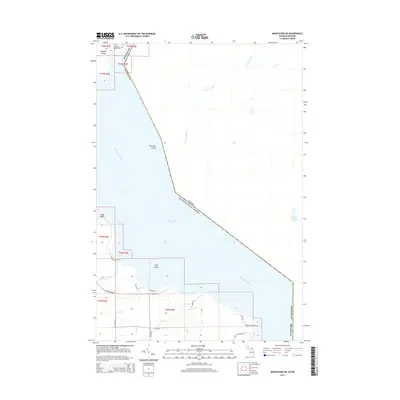
2014 Map of Munuscong NE
USGS Topo · Published 2014About this map
Saint Marys River serves as the international boundary between Chippewa County, Michigan, and Ontario, Canada, on this coastal survey. The map details a labyrinth of waterways and islands at the northern reach of Munuscong Lake. Notable family-named sites include the Johnston Family Cem on Neebish Island, providing a specific point of interest for genealogists tracking early families in this border region. The coastline is defined by prominent features such as Point aux Frenes and Rocky Point, while the interior shows the drainage of the Two Tree River and Gogomain River. A sparse network of local roads like E Gogomain Rd and S Raber Rd provides access to the shoreline, reflecting the rural and water-oriented development of the area in the early 21st century.
Find a feature on this map
33 named features on this map. Tap any name to fly to it.
Don’t see what you’re looking for? This feature index may not catch every label — zoom into the map to look around manually.
Map Details
Editions of this 2014 Munuscong NE Map
This is the sole edition of this map. No revisions or reprints were ever made.
Other maps of this area

1919 · Neebish
USGS Topo · 1:62,500

1941 · Neebish
USGS Topo · 1:63,360

1951 · Oak Ridge
USGS Topo · 1:24,000

1951 · Lake George
USGS Topo · 1:62,500

1953 · Munuscong
USGS Topo · 1:24,000

1953 · Munuscong NE
USGS Topo · 1:24,000

1954 · Sault Sainte Marie
USGS Topo · 1:250,000

1956 · Sault Sainte Marie
USGS Topo · 1:250,000

1957 · Sault Sainte Marie
USGS Topo · 1:250,000

1958 · Sault Sainte Marie
USGS Topo · 1:250,000