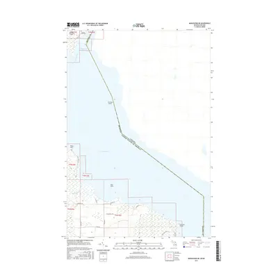
2017 Map of Munuscong NE
USGS Topo · Published 2017About this map
Munuscong Lake and the international boundary between the United States and Canada define this stretch of the Saint Marys River waterway. On the Michigan side within Chippewa County, the landscape is characterized by a complex network of wetlands and small islands, including Neebish Island and Two Tree Island. The local geography is anchored by the Gogomain River which empties into the lake near Rocky Point.
Find a feature on this map
30 named features on this map. Tap any name to fly to it.
Don’t see what you’re looking for? This feature index may not catch every label — zoom into the map to look around manually.
Map Details
Editions of this 2017 Munuscong NE Map
This is the sole edition of this map. No revisions or reprints were ever made.
Other maps of this area

1919 · Neebish
USGS Topo · 1:62,500

1941 · Neebish
USGS Topo · 1:63,360

1951 · Oak Ridge
USGS Topo · 1:24,000

1951 · Lake George
USGS Topo · 1:62,500

1953 · Munuscong
USGS Topo · 1:24,000

1953 · Munuscong NE
USGS Topo · 1:24,000

1954 · Sault Sainte Marie
USGS Topo · 1:250,000

1956 · Sault Sainte Marie
USGS Topo · 1:250,000

1957 · Sault Sainte Marie
USGS Topo · 1:250,000

1958 · Sault Sainte Marie
USGS Topo · 1:250,000