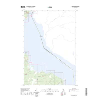
2023 Map of Munuscong NE
USGS Topo · Published 2023About this map
The international border between the United States and Canada cuts diagonally across the Saint Marys River in this maritime stretch of Chippewa County. This area represents a critical junction of northern waterways where the Munuscong Channel flows past the southern tip of Neebish Island. Along the eastern shore of the mainland, the landscape is defined by low-lying wetlands and significant points of land including Rocky Point and Point aux Frenes.
Find a feature on this map
28 named features on this map. Tap any name to fly to it.
Don’t see what you’re looking for? This feature index may not catch every label — zoom into the map to look around manually.
Map Details
Editions of this 2023 Munuscong NE Map
This is the sole edition of this map. No revisions or reprints were ever made.
Other maps of this area

1919 · Neebish
USGS Topo · 1:62,500

1941 · Neebish
USGS Topo · 1:63,360

1951 · Oak Ridge
USGS Topo · 1:24,000

1951 · Lake George
USGS Topo · 1:62,500

1953 · Munuscong
USGS Topo · 1:24,000

1953 · Munuscong NE
USGS Topo · 1:24,000

1954 · Sault Sainte Marie
USGS Topo · 1:250,000

1956 · Sault Sainte Marie
USGS Topo · 1:250,000

1957 · Sault Sainte Marie
USGS Topo · 1:250,000

1958 · Sault Sainte Marie
USGS Topo · 1:250,000