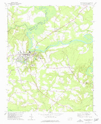
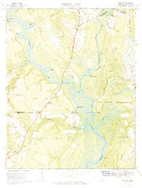
1973 Map of Murfreesboro
USGS Topo · Published 1977About this map
Murfreesboro sits at the heart of this coastal plain landscape, positioned south of the wide, meandering Meherrin River. The town's educational roots are visible through the grounds of Chowan College and the Murfreesboro High Sch, while local infrastructure is defined by the winding paths of College Branch and Hares Branch. Beyond the town limits, the terrain transitions into a patchwork of timber and swamp, including Worrell Mill Swp and Old Tree Swamp.
Find a feature on this map
34 named features on this map. Tap any name to fly to it.
Don’t see what you’re looking for? This feature index may not catch every label — zoom into the map to look around manually.
Map Details
Editions of this 1973 Murfreesboro Map
This is the sole edition of this map. No revisions or reprints were ever made.
Other maps of this area

1908 · Winton
USGS Topo · 1:62,500
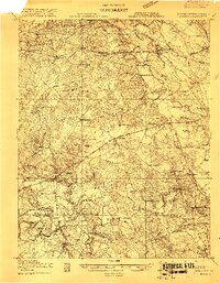
1919 · Boykins
USGS Topo · 1:48,000
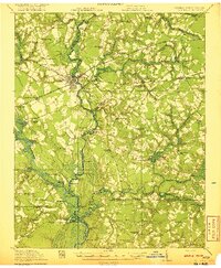
1920 · Holland
USGS Topo · 1:62,500
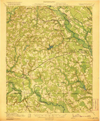
1920 · Boykins
USGS Topo · 1:62,500
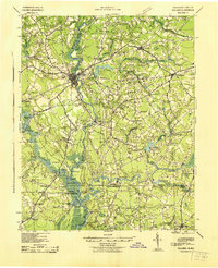
1943 · Holland
USGS Topo · 1:62,500

1953 · Norfolk
USGS Topo · 1:250,000
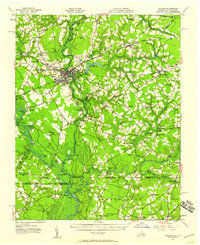
1957 · Holland
USGS Topo · 1:62,500
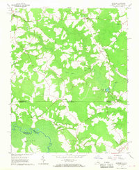
1966 · Sunbeam
USGS Topo · 1:24,000
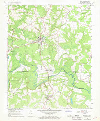
1966 · Boykins
USGS Topo · 1:24,000
1967 · Riverdale
USGS Topo · 1:24,000