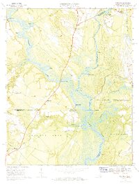
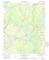
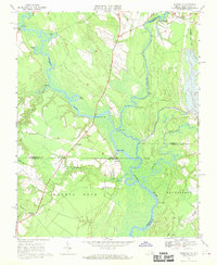
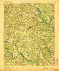
1967 Map of Riverdale
USGS Topo · Published 1970About this map
The Nottoway River and Blackwater River converge here to form the headwaters of the Chowan River, a landscape defined by its intricate network of waterways and landings. This 1967 field-checked survey captures the rural character of the Virginia and North Carolina borderlands, where river commerce is evidenced by numerous historic sites like Cobbs Wharf, Macks Wharf, and Milk Landing. These points, along with Cathole Landing and Riddicks Landing, illustrate how the region's geography dictated transportation and trade long before the dominance of modern highways.
Find a feature on this map
43 named features on this map. Tap any name to fly to it.
Don’t see what you’re looking for? This feature index may not catch every label — zoom into the map to look around manually.
Map Details
Editions of this 1967 Riverdale Map
3 editions found
Other maps of this area

1908 · Winton
USGS Topo · 1:62,500
1919 · Boykins
USGS Topo · 1:48,000

1920 · Holland
USGS Topo · 1:62,500
1920 · Boykins
USGS Topo · 1:62,500

1943 · Holland
USGS Topo · 1:62,500

1953 · Norfolk
USGS Topo · 1:250,000

1957 · Holland
USGS Topo · 1:62,500
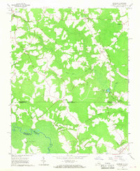
1966 · Sunbeam
USGS Topo · 1:24,000
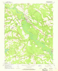
1967 · Courtland
USGS Topo · 1:24,000
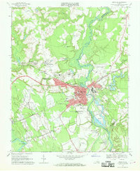
1967 · Franklin
USGS Topo · 1:24,000