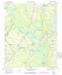
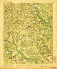
1967 Map of Riverdale
USGS Topo · Published 1986About this map
The confluence of the Nottoway River and Blackwater River forms the Chowan River at the Virginia and North Carolina border, creating a landscape defined by tidewater wetlands and riverine commerce. This mid-century environment is characterized by numerous historic river access points such as Mill Creek Landing, Sandy Landing, and Cobbs Wharf, which reflect the region's long-standing reliance on waterways for transport. Higher ground west of the swampy basins supports small agrarian settlements and institutions like the Diamond Grove Ch Sch and Mt Olive Ch. The presence of the Seaboard railroad and the General Vaughan Bridge crossing the Nottoway illustrate the essential transportation corridors connecting South Quay and Riverdale to the broader regional economy during this era of rural transition.
Find a feature on this map
39 named features on this map. Tap any name to fly to it.
Don’t see what you’re looking for? This feature index may not catch every label — zoom into the map to look around manually.
Map Details
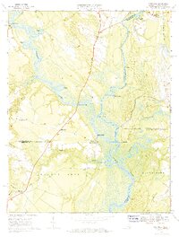
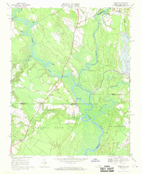
Editions of this 1967 Riverdale Map
3 editions found
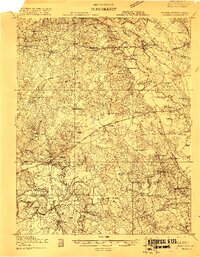
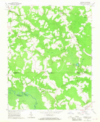
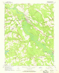
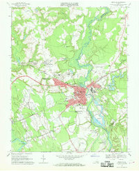
Other maps of this area

1908 · Winton
USGS Topo · 1:62,500
1919 · Boykins
USGS Topo · 1:48,000

1920 · Holland
USGS Topo · 1:62,500
1920 · Boykins
USGS Topo · 1:62,500

1943 · Holland
USGS Topo · 1:62,500

1953 · Norfolk
USGS Topo · 1:250,000

1957 · Holland
USGS Topo · 1:62,500
1966 · Sunbeam
USGS Topo · 1:24,000
1967 · Courtland
USGS Topo · 1:24,000
1967 · Franklin
USGS Topo · 1:24,000