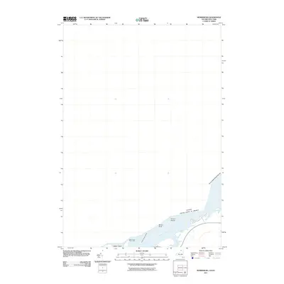
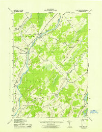
2011 Map of Murphy Islands
USGS Topo · Published 2011About this map
The Saint Lawrence River serves as the central focal point of this map, defining the international boundary between New York and Ontario. The river's complex navigation and topography are documented through features such as Ogden Island and the Murphy Islands, alongside several hazardous shallows like Murphy Shoal, Clark Island Shoal, and the Goose Neck Islands Shoals. The presence of the Ogden Island Range Lights indicates the importance of maritime safety and commercial transit through these waters.
Find a feature on this map
9 named features on this map. Tap any name to fly to it.
Don’t see what you’re looking for? This feature index may not catch every label — zoom into the map to look around manually.
Map Details
Editions of this 2011 Murphy Islands Map
This is the sole edition of this map. No revisions or reprints were ever made.
Other maps of this area

1904 · Lisbon
USGS Topo · 1:48,000

1905 · Waddington
USGS Topo · 1:62,500

1906 · Red Mills
USGS Topo · 1:62,500

1942 · Waddington
USGS Topo · 1:24,000

1942 · Chase Mills
USGS Topo · 1:24,000

1942 · Murphy Island
USGS Topo · 1:24,000
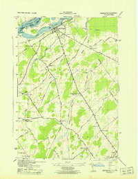
1943 · Waddington
USGS Topo · 1:31,680
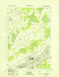
1943 · Murphy Island
USGS Topo · 1:31,680
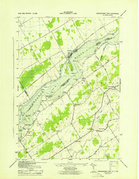
1943 · Sparrowhawk Point
USGS Topo · 1:31,680
1943 · Chase Mills
USGS Topo · 1:31,680