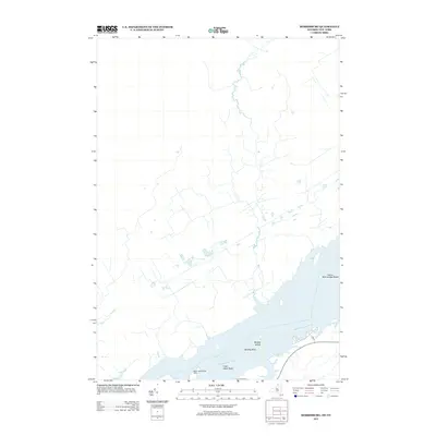
2013 Map of Murphy Islands
USGS Topo · Published 2013About this map
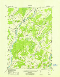
The Saint Lawrence River dominates this landscape along the international border, where the waterway's complex navigation is marked by features like the Ogden Island Range Lights. This survey captures the river's character through its numerous underwater hazards and small landforms, including Murphy Shoal and Clark Island Shoal. On the northern banks, the sparse road network is represented by routes such as Park St, illustrating the rural development of the region. The map provides a detailed view of the river's geography, specifically highlighting the Murphy Islands and the expansive Goose Neck Islands Shoals, which have long defined the shipping challenges and natural beauty of this border corridor between Ontario and New York.
Find a feature on this map
7 named features on this map. Tap any name to fly to it.
Don’t see what you’re looking for? This feature index may not catch every label — zoom into the map to look around manually.
Map Details
Editions of this 2013 Murphy Islands Map
This is the sole edition of this map. No revisions or reprints were ever made.
Other maps of this area

1904 · Lisbon
USGS Topo · 1:48,000

1905 · Waddington
USGS Topo · 1:62,500

1906 · Red Mills
USGS Topo · 1:62,500

1942 · Waddington
USGS Topo · 1:24,000

1942 · Chase Mills
USGS Topo · 1:24,000

1942 · Murphy Island
USGS Topo · 1:24,000
1943 · Waddington
USGS Topo · 1:31,680
1943 · Murphy Island
USGS Topo · 1:31,680
1943 · Sparrowhawk Point
USGS Topo · 1:31,680
1943 · Chase Mills
USGS Topo · 1:31,680