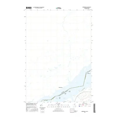
2016 Map of Murphy Islands
USGS Topo · Published 2016About this map
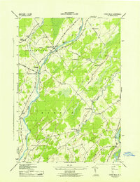
Morrisburg stands as a primary focal point along the international border in this 2016 survey of the Saint Lawrence River corridor. The map details the expansive waters of Lake St. Lawrence, a reservoir created by the power and seaway projects of the mid-20th century. This hydrographic landscape is defined by the Saint Lawrence Seaway channel, which serves as a vital artery for maritime commerce between the Great Lakes and the Atlantic. On the New York side, Coles Creek State Park occupies the shoreline, providing a glimpse into the recreational development of the riverfront. Navigation hazards and submerged features are meticulously charted, including the Goose Neck Islands Shoals, Murphy Shoal, and Clark Island Shoal, alongside the visible Murphy Islands.
Find a feature on this map
12 named features on this map. Tap any name to fly to it.
Don’t see what you’re looking for? This feature index may not catch every label — zoom into the map to look around manually.
Map Details
Editions of this 2016 Murphy Islands Map
This is the sole edition of this map. No revisions or reprints were ever made.
Other maps of this area

1904 · Lisbon
USGS Topo · 1:48,000

1905 · Waddington
USGS Topo · 1:62,500

1906 · Red Mills
USGS Topo · 1:62,500

1942 · Waddington
USGS Topo · 1:24,000

1942 · Chase Mills
USGS Topo · 1:24,000

1942 · Murphy Island
USGS Topo · 1:24,000
1943 · Waddington
USGS Topo · 1:31,680
1943 · Murphy Island
USGS Topo · 1:31,680
1943 · Sparrowhawk Point
USGS Topo · 1:31,680
1943 · Chase Mills
USGS Topo · 1:31,680