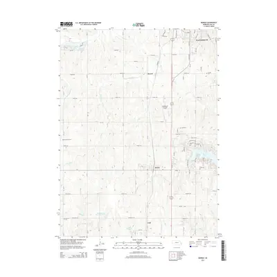
2014 Map of Murray
USGS Topo · Published 2014About this map
Plattsmouth and its surrounding rural townships anchor this 2014 survey of eastern Cass County, where the landscape is defined by the dendritic drainage patterns of Fourmile Cr and Eightmile Cr. The settlement pattern follows a grid of section-line roads, interspersed with family-named landmarks and local cemeteries such as Horning Cem and Otterbein Cem. Aviation infrastructure is prominent in the central corridor, featuring both the Plattsmouth Municipal Airport and the private Nolte Farms Airport. This era shows a significant concentration of water management features, ranging from the large recreational footprint of Beaver Lake to agricultural and municipal impoundments like Schlichtemeier Reservoir Number 1 and Plattsmouth Reservoir 12 A. Smaller hamlets like Mynard, Murray, and Todd remain distinct points along the north-south transit routes, maintaining their identity amidst the rolling agricultural terrain.
Find a feature on this map
45 named features on this map. Tap any name to fly to it.
Don’t see what you’re looking for? This feature index may not catch every label — zoom into the map to look around manually.
Map Details
Editions of this 2014 Murray Map
This is the sole edition of this map. No revisions or reprints were ever made.
Other maps of this area

1893 · Fremont
USGS Topo · 1:125,000

1896 · Fremont
USGS Topo · 1:125,000

1903 · Weeping Water
USGS Topo · 1:125,000

1929 · Weeping Water
USGS Topo · 1:125,000

1935 · Nehawka
USGS Topo · 1:48,000

1940 · Nehawka
USGS Topo · 1:62,500

1954 · Omaha
USGS Topo · 1:250,000

1955 · Fremont
USGS Topo · 1:250,000

1955 · Nebraska City
USGS Topo · 1:250,000

1955 · Lincoln
USGS Topo · 1:250,000