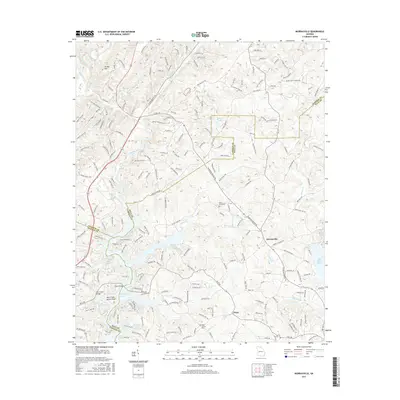
2017 Map of Murrayville
USGS Topo · Published 2017About this map
Lake Sidney Lanier dominates the southern reaches of this landscape, its fingers reaching into the valleys where the Chestatee River and Wahoo Cr once flowed unimpeded. The settlement of Murrayville sits at a critical junction of transport and topography, serving as a gateway between the rising hills of Turkey Hill and the reservoir’s northern edge. The area is characterized by a dense network of country roads named for local families and landmarks, such as Calhoun Mine Rd and Mount Olive Church Rd, which trace the legacy of earlier mining and agricultural activity.
Find a feature on this map
203 named features on this map. Tap any name to fly to it.
Don’t see what you’re looking for? This feature index may not catch every label — zoom into the map to look around manually.
Map Details
Editions of this 2017 Murrayville Map
This is the sole edition of this map. No revisions or reprints were ever made.
Other maps of this area

1886 · Dahlonega
USGS Topo · 1:125,000

1888 · Ellijay
USGS Topo · 1:125,000

1890 · Suwanee
USGS Topo · 1:125,000

1891 · Gainesville
USGS Topo · 1:125,000

1892 · Dahlonega
USGS Topo · 1:125,000

1892 · Ellijay
USGS Topo · 1:125,000

1894 · Suwanee
USGS Topo · 1:125,000

1896 · Dahlonega
USGS Topo · 1:125,000

1898 · Ellijay
USGS Topo · 1:125,000

1903 · Dahlonega
USGS Topo · 1:125,000