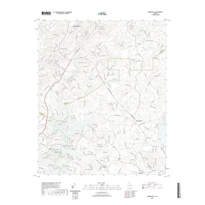
2020 Map of Murrayville
USGS Topo · Published 2020About this map
The Chestatee River and its numerous tributaries, including Cane Cr and Yellow Creek, dominate this section of the Georgia Piedmont at the intersection of Lumpkin, Hall, and Dawson counties. The landscape is characterized by a dense network of country roads named for local families, such as Ben Parks Rd and Wade Whelchel Rd, reflecting a deeply rooted rural community.
Find a feature on this map
223 named features on this map. Tap any name to fly to it.
Don’t see what you’re looking for? This feature index may not catch every label — zoom into the map to look around manually.
Map Details
Editions of this 2020 Murrayville Map
This is the sole edition of this map. No revisions or reprints were ever made.
Other maps of this area

1886 · Dahlonega
USGS Topo · 1:125,000

1888 · Ellijay
USGS Topo · 1:125,000

1890 · Suwanee
USGS Topo · 1:125,000

1891 · Gainesville
USGS Topo · 1:125,000

1892 · Dahlonega
USGS Topo · 1:125,000

1892 · Ellijay
USGS Topo · 1:125,000

1894 · Suwanee
USGS Topo · 1:125,000

1896 · Dahlonega
USGS Topo · 1:125,000

1898 · Ellijay
USGS Topo · 1:125,000

1903 · Dahlonega
USGS Topo · 1:125,000