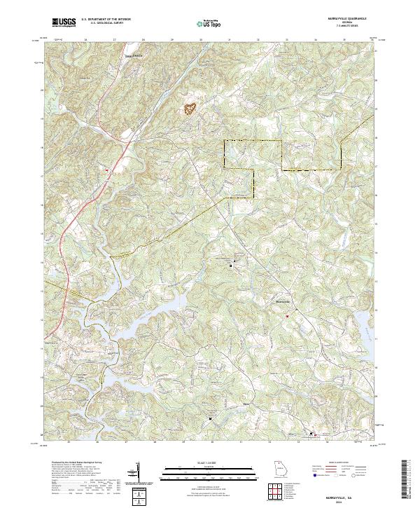
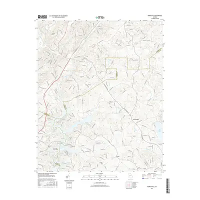
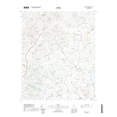
2024 Map of Murrayville
USGS Topo · Published 2024About this map
The Chestatee River and its intricate tributaries dominate this landscape on the borders of Lumpkin, Hall, and Dawson counties. Central to the region is the village of Murrayville, surrounded by a network of rural routes like Old Dahlonega Hwy and Yellow Creek Rd. The terrain is defined by the convergence of several major water systems, including Yellow Creek and Wahoo Creek, which carve through the foothills near Turkey Hill.
Find a feature on this map
213 named features on this map. Tap any name to fly to it.
Don’t see what you’re looking for? This feature index may not catch every label — zoom into the map to look around manually.
Map Details
Editions of this 2024 Murrayville Map
This is the sole edition of this map. No revisions or reprints were ever made.
Historical Maps of Dahlonega Through Time
21 maps found
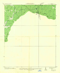
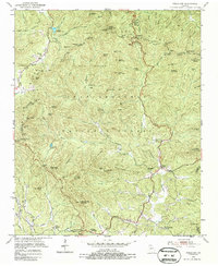
1935 Neels Gap
Lumpkin County, GA
1938 Neels Gap
Lumpkin County, GA
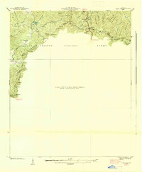
1950 Campbell Mtn
Lumpkin County, GA
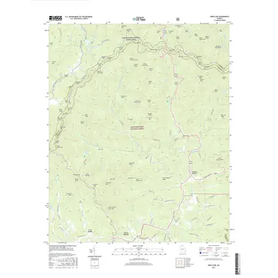
1950 Neels Gap
Lumpkin County, GA
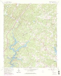
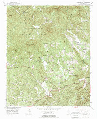
1964 Murrayville
Lumpkin County, GA
1988 Neels Gap
Lumpkin County, GA
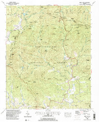
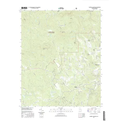
2011 Campbell Mountain
Lumpkin County, GA

2011 Murrayville
Lumpkin County, GA
2011 Neel Gap
Lumpkin County, GA
2014 Campbell Mountain
Lumpkin County, GA
2014 Murrayville
Lumpkin County, GA
2014 Neel Gap
Lumpkin County, GA
2017 Campbell Mountain
Lumpkin County, GA
2017 Murrayville
Lumpkin County, GA
2017 Neel Gap
Lumpkin County, GA
2020 Campbell Mountain
Lumpkin County, GA
2020 Murrayville
Lumpkin County, GA
2020 Neel Gap
Lumpkin County, GA
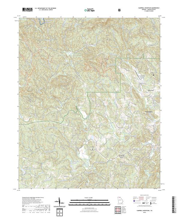
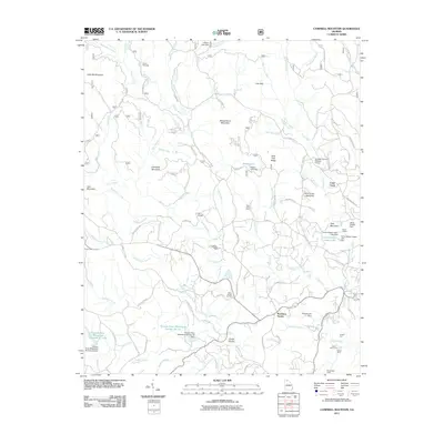
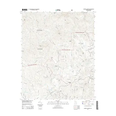
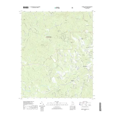
2024 Campbell Mountain
Lumpkin County, GA
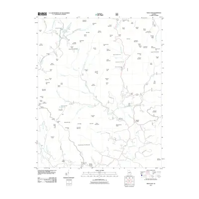
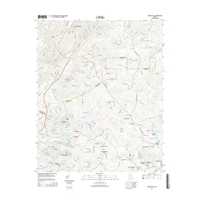
2024 Murrayville
Lumpkin County, GA
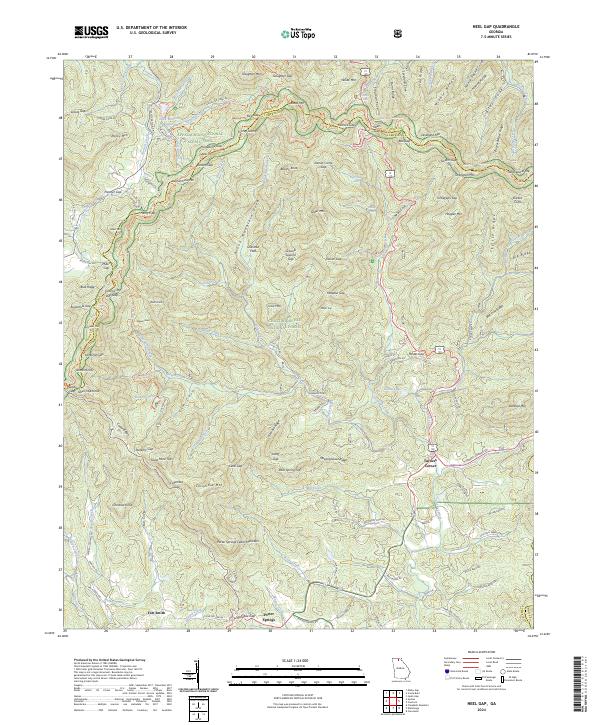
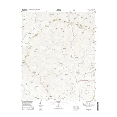
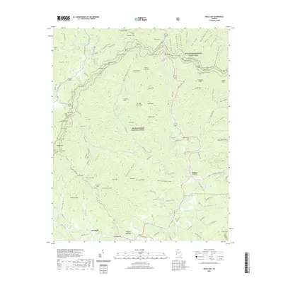
2024 Neel Gap
Lumpkin County, GA