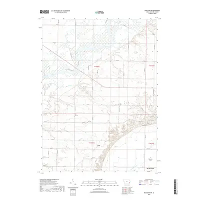
2018 Map of Muscatine NW
USGS Topo · Published 2018About this map
The Cedar River meanders across this Muscatine County landscape, shaping a terrain characterized by river loops and the alluvial expanse of Muscatine Island. In the late 2010s, this area north and west of Muscatine shows a pattern of agricultural plots and drainage systems, including Crane Cr and the winding Muscatine Slough. The small settlement of Ardon serves as a local focal point in the southern portion of the map, while numerous small cemeteries such as High Prairie Cem and Saint Johns Cem are preserved among the fields, offering valuable landmarks for genealogical research.
Find a feature on this map
50 named features on this map. Tap any name to fly to it.
Don’t see what you’re looking for? This feature index may not catch every label — zoom into the map to look around manually.
Map Details
Editions of this 2018 Muscatine NW Map
This is the sole edition of this map. No revisions or reprints were ever made.
Other maps of this area

1891 · Wilton Junction
USGS Topo · 1:62,500

1894 · West Liberty
USGS Topo · 1:62,500

1901 · Stanwood
USGS Topo · 1:125,000

1948 · Muscatine
USGS Topo · 1:62,500

1953 · Wilton Junction
USGS Topo · 1:24,000

1953 · Blanchard Island
USGS Topo · 1:24,000
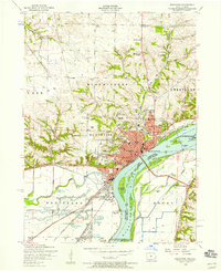
1953 · Muscatine
USGS Topo · 1:24,000

1958 · Davenport
USGS Topo · 1:250,000

1961 · Davenport
USGS Topo · 1:250,000

1962 · Davenport
USGS Topo · 1:250,000