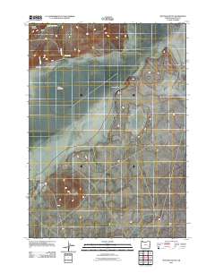
2011 Map of Mustang Butte
USGS Topo · Published 2011About this map
Mooreville sits along the northwestern edge of this high desert landscape, positioned near the drainage of Couch Creek. The terrain is defined by the expansive Piute Lake Bed and the surrounding Barren Valley, showcasing the hydrologic patterns of Malheur County where seasonal water sources like Piute Spring and the Cook Reservoir are critical landmarks. Significant topographical features include the namesake Mustang Butte and the carved descent of Rocky Canyon. The map details a network of rural roads and tracks that navigate these arid basins, illustrating the remote settlement patterns and ranching infrastructure of eastern Oregon in the early 21st century.
Find a feature on this map
9 named features on this map. Tap any name to fly to it.
Don’t see what you’re looking for? This feature index may not catch every label — zoom into the map to look around manually.
Map Details
Editions of this 2011 Mustang Butte Map
This is the sole edition of this map. No revisions or reprints were ever made.
Other maps of this area

1955 · Burns
USGS Topo · 1:250,000

1955 · Boise
USGS Topo · 1:250,000

1958 · Burns
USGS Topo · 1:250,000

1958 · Boise
USGS Topo · 1:250,000

1959 · Burns
USGS Topo · 1:250,000

1962 · Boise
USGS Topo · 1:250,000
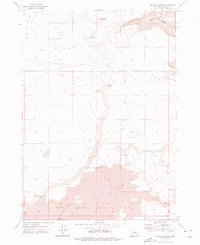
1972 · Wrangle Butte
USGS Topo · 1:24,000
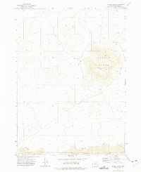
1972 · Saddle Butte
USGS Topo · 1:24,000

1972 · Burnt Flat
USGS Topo · 1:24,000

1972 · Crowley
USGS Topo · 1:24,000