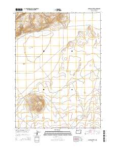
2014 Map of Mustang Butte
USGS Topo · Published 2014About this map
Mustang Butte dominates the southern landscape of this high desert region in Malheur County, where the terrain is defined by dry lake beds and seasonal water sources. To the north, the Piute Lake Bed sits near the junction of Couch Cr and Piute Cr, with the essential Piute Spring providing a rare permanent water point in this arid environment. The expansive Barren Valley stretches across the central portion of the map, illustrating the isolation of the Oregon high country. Transport through this rugged area is facilitated by established tracks such as the Crowley-Riverside Rd and Turnbull Lk, which connect these remote geological landmarks. The map captures a landscape shaped by volcanic geography, where volcanic buttes and alkali flats dictate the path of human travel and livestock management.
Find a feature on this map
13 named features on this map. Tap any name to fly to it.
Don’t see what you’re looking for? This feature index may not catch every label — zoom into the map to look around manually.
Map Details
Editions of this 2014 Mustang Butte Map
This is the sole edition of this map. No revisions or reprints were ever made.
Other maps of this area

1955 · Burns
USGS Topo · 1:250,000

1955 · Boise
USGS Topo · 1:250,000

1958 · Burns
USGS Topo · 1:250,000

1958 · Boise
USGS Topo · 1:250,000

1959 · Burns
USGS Topo · 1:250,000

1962 · Boise
USGS Topo · 1:250,000
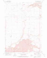
1972 · Wrangle Butte
USGS Topo · 1:24,000
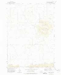
1972 · Saddle Butte
USGS Topo · 1:24,000

1972 · Burnt Flat
USGS Topo · 1:24,000

1972 · Crowley
USGS Topo · 1:24,000