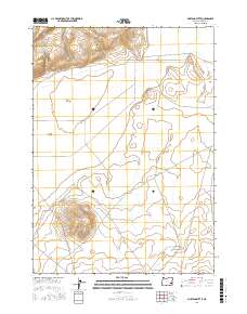
2017 Map of Mustang Butte
USGS Topo · Published 2017About this map
Mustang Butte rises above the high desert floor of Malheur County, anchoring a landscape shaped by seasonal water and the vast drainage of Barren Valley. This interior basin relies on ephemeral sources such as Piute Cr and Couch Cr, which feed into the large Piute Lake Bed. Humans have managed this arid environment through improvements like Cook Reservoir and the utilization of Piute Spring, providing critical points of access for ranching and passage. The transit network is sparse, centered on the Crowley-Riverside Rd, which cuts across the northern sections to connect remote outposts. Surveyed at the township and range level, the map highlights the geometric intersection of t27s r39e, t28s r38e, and t28s r39e, reflecting the systematic organization of Oregon's expansive southeastern rangelands.
Find a feature on this map
12 named features on this map. Tap any name to fly to it.
Don’t see what you’re looking for? This feature index may not catch every label — zoom into the map to look around manually.
Map Details
Editions of this 2017 Mustang Butte Map
This is the sole edition of this map. No revisions or reprints were ever made.
Other maps of this area

1955 · Burns
USGS Topo · 1:250,000

1955 · Boise
USGS Topo · 1:250,000

1958 · Burns
USGS Topo · 1:250,000

1958 · Boise
USGS Topo · 1:250,000

1959 · Burns
USGS Topo · 1:250,000

1962 · Boise
USGS Topo · 1:250,000
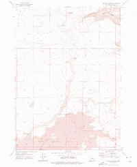
1972 · Wrangle Butte
USGS Topo · 1:24,000
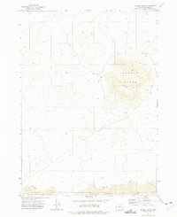
1972 · Saddle Butte
USGS Topo · 1:24,000

1972 · Burnt Flat
USGS Topo · 1:24,000

1972 · Crowley
USGS Topo · 1:24,000