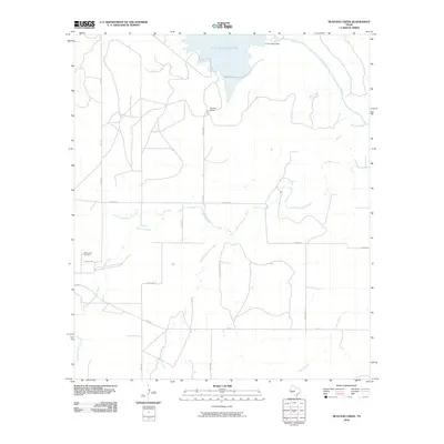
2010 Map of Mustang Creek
USGS Topo · Published 2010About this map
The O. H. Ivie Reservoir dominates the northern reaches of this Coleman County landscape, held back by the S. W. Freese Dam at the Colorado River. The surrounding terrain is defined by the branching network of the Mustang Creek system, including its North Fork, East Fork, and Middle Fork. These waterways carve through a rural expanse where ranching and scattered family landmarks, such as Stevens Ranch, serve as the primary points of human settlement.
Find a feature on this map
19 named features on this map. Tap any name to fly to it.
Don’t see what you’re looking for? This feature index may not catch every label — zoom into the map to look around manually.
Map Details
Editions of this 2010 Mustang Creek Map
This is the sole edition of this map. No revisions or reprints were ever made.
Other maps of this area

1892 · Eden
USGS Topo · 1:125,000

1892 · Ballinger
USGS Topo · 1:125,000

1896 · Eden
USGS Topo · 1:125,000

1924 · Eden 1-a
USGS Topo · 1:48,000

1925 · Ballinger 3-d
USGS Topo · 1:48,000

1925 · Ballinger 4-c
USGS Topo · 1:48,000

1931 · Stacy
USGS Topo · 1:62,500

1932 · Voss
USGS Topo · 1:62,500

1932 · Paint Rock
USGS Topo · 1:62,500

1954 · Brownwood
USGS Topo · 1:250,000