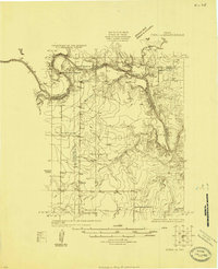
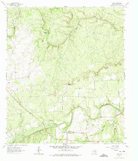
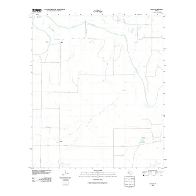
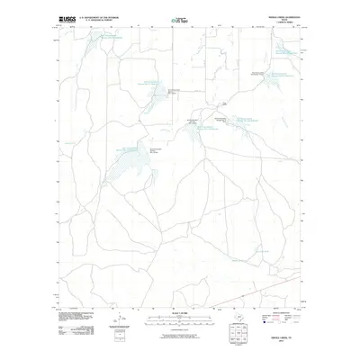
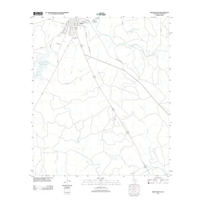
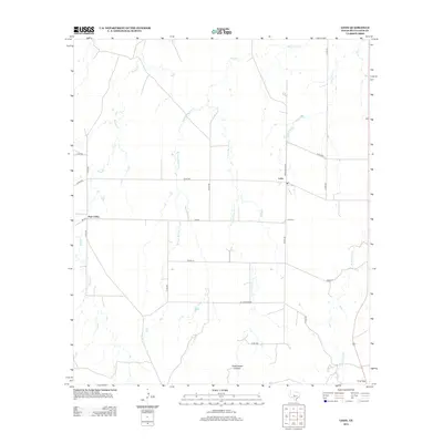
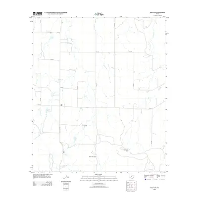
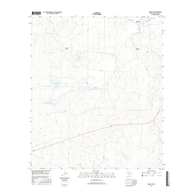
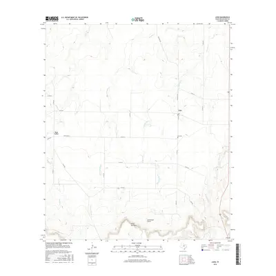
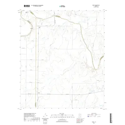
1924 Map of Eden 1-a
USGS Topo · Published 1924About this map
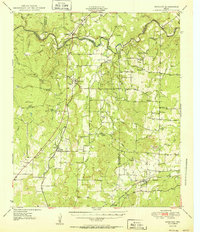
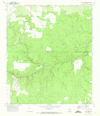
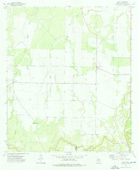
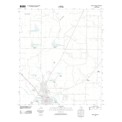
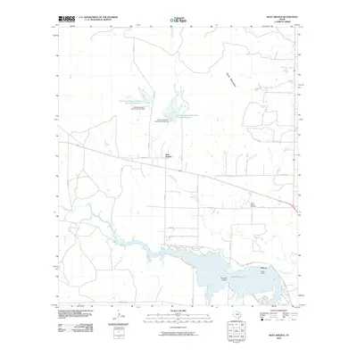
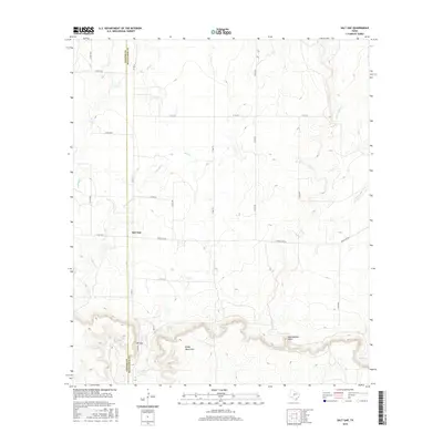
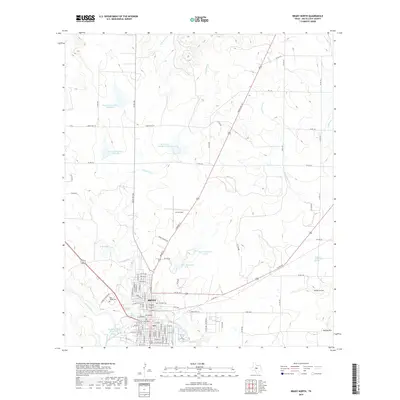
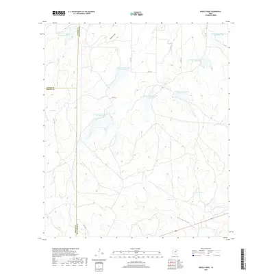
The confluence of the Colorado River and the Concho River dominates this 1924 landscape at the junction of Concho, McCulloch, and Coleman counties. This survey, conducted just as aerial photography began to supplement traditional ground topography, captures a rural Texas riverine economy dependent on established fords and water access. Significant river transit points like Crane Crossing and Brady Bend Crossing provided essential passage before the extensive bridging of the modern era.
Find a feature on this map
18 named features on this map. Tap any name to fly to it.
Don’t see what you’re looking for? This feature index may not catch every label — zoom into the map to look around manually.
Map Details
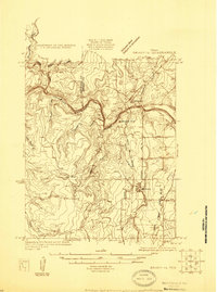
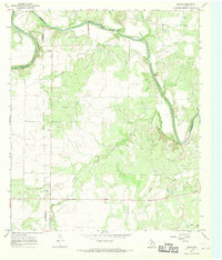
Editions of this 1924 Eden 1-a Map
This is the sole edition of this map. No revisions or reprints were ever made.
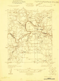
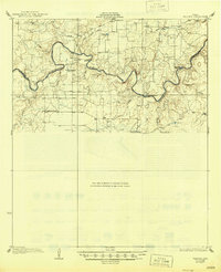
Historical Maps of Stacy Through Time
90 maps found
1924 Eden 1-a
McCulloch County, TX
1925 Brady 1-b
McCulloch County, TX
1925 Brady 2-b
McCulloch County, TX

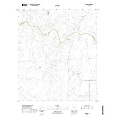
1928 Mercury
McCulloch County, TX
1928 Waldrip
McCulloch County, TX
1950 Mercury
McCulloch County, TX
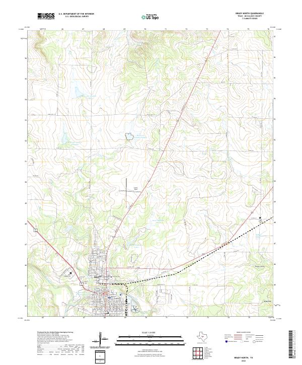
1960 Brady North
McCulloch County, TX
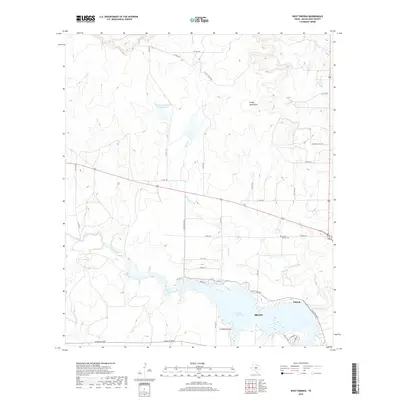
1960 West Sweden
McCulloch County, TX
1963 Brady SW
McCulloch County, TX
1963 Voca
McCulloch County, TX
1967 Doole
McCulloch County, TX
1967 Salt Gap
McCulloch County, TX
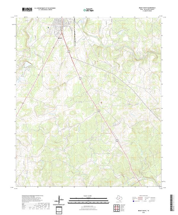
1970 Brady South
McCulloch County, TX
1970 Calf Creek
McCulloch County, TX
1970 Needle Creek
McCulloch County, TX
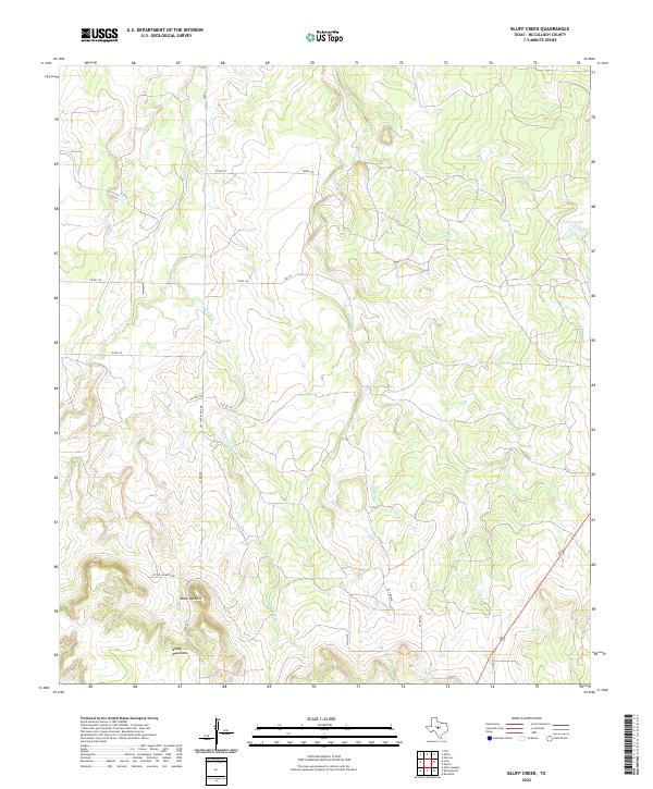
1973 Bluff Creek
McCulloch County, TX
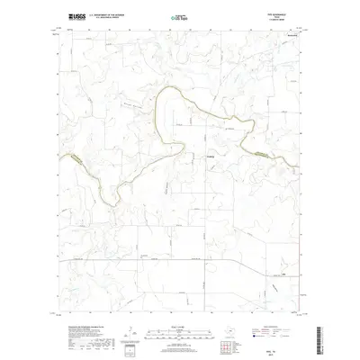
1973 Fife
McCulloch County, TX
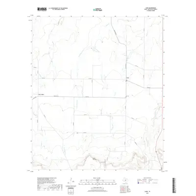
1973 Lohn
McCulloch County, TX
1979 Mercury
McCulloch County, TX
1979 Placid
McCulloch County, TX
2010 Bluff Creek
McCulloch County, TX
2010 Brady North
McCulloch County, TX
2010 Brady South
McCulloch County, TX
2010 Brady SW
McCulloch County, TX
2010 Calf Creek
McCulloch County, TX
2010 Doole
McCulloch County, TX
2010 Fife
McCulloch County, TX
2010 Lohn
McCulloch County, TX
2010 Mercury
McCulloch County, TX
2010 Needle Creek
McCulloch County, TX
2010 Placid
McCulloch County, TX
2010 Salt Gap
McCulloch County, TX
2010 Voca
McCulloch County, TX
2010 West Sweden
McCulloch County, TX
2012 Bluff Creek
McCulloch County, TX
2012 Calf Creek
McCulloch County, TX
2012 Voca
McCulloch County, TX

2013 Brady North
McCulloch County, TX
2013 Brady South
McCulloch County, TX
2013 Brady SW
McCulloch County, TX
2013 Doole
McCulloch County, TX
2013 Fife
McCulloch County, TX
2013 Lohn
McCulloch County, TX
2013 Mercury
McCulloch County, TX
2013 Needle Creek
McCulloch County, TX
2013 Placid
McCulloch County, TX
2013 Salt Gap
McCulloch County, TX

2013 West Sweden
McCulloch County, TX
2016 Bluff Creek
McCulloch County, TX
2016 Brady North
McCulloch County, TX
2016 Brady South
McCulloch County, TX
2016 Brady SW
McCulloch County, TX
2016 Calf Creek
McCulloch County, TX
2016 Doole
McCulloch County, TX
2016 Fife
McCulloch County, TX
2016 Lohn
McCulloch County, TX
2016 Mercury
McCulloch County, TX
2016 Needle Creek
McCulloch County, TX
2016 Placid
McCulloch County, TX
2016 Salt Gap
McCulloch County, TX
2016 Voca
McCulloch County, TX
2016 West Sweden
McCulloch County, TX
2019 Bluff Creek
McCulloch County, TX
2019 Brady North
McCulloch County, TX
2019 Brady South
McCulloch County, TX
2019 Brady SW
McCulloch County, TX
2019 Calf Creek
McCulloch County, TX
2019 Doole
McCulloch County, TX
2019 Fife
McCulloch County, TX
2019 Lohn
McCulloch County, TX
2019 Mercury
McCulloch County, TX
2019 Needle Creek
McCulloch County, TX
2019 Placid
McCulloch County, TX
2019 Salt Gap
McCulloch County, TX
2019 Voca
McCulloch County, TX
2019 West Sweden
McCulloch County, TX
2022 Bluff Creek
McCulloch County, TX
2022 Brady North
McCulloch County, TX
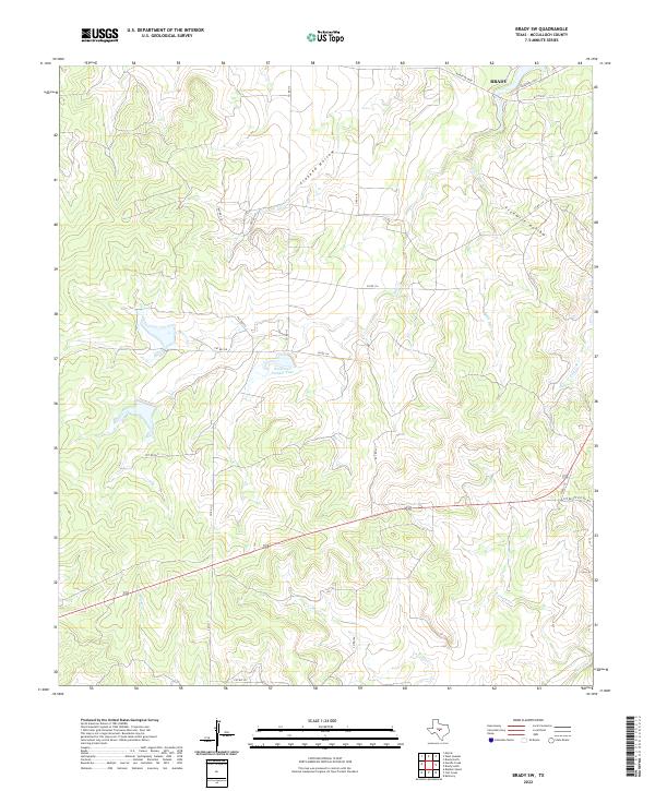
2022 Brady South
McCulloch County, TX
2022 Brady SW
McCulloch County, TX
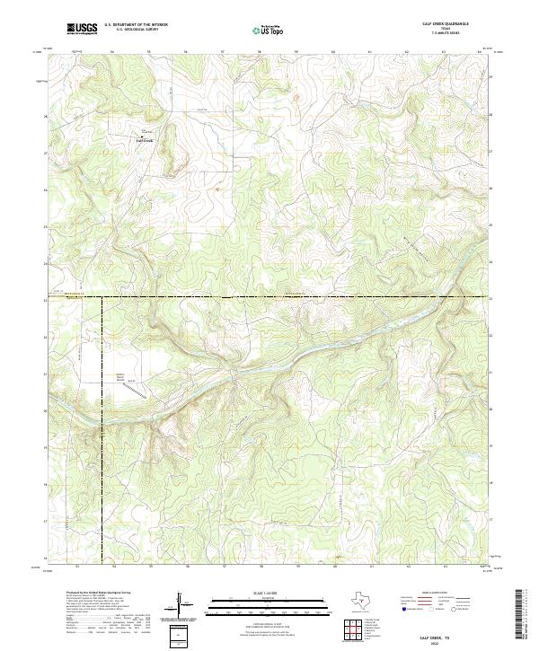
2022 Calf Creek
McCulloch County, TX
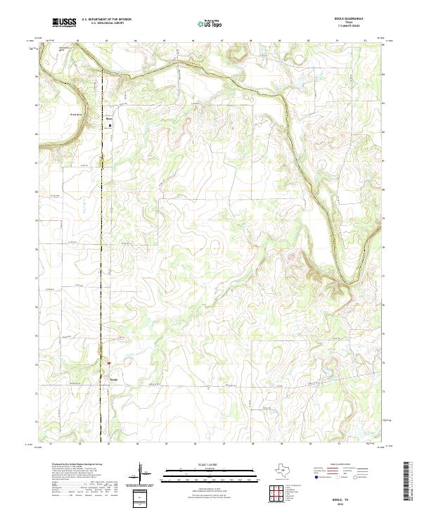
2022 Doole
McCulloch County, TX
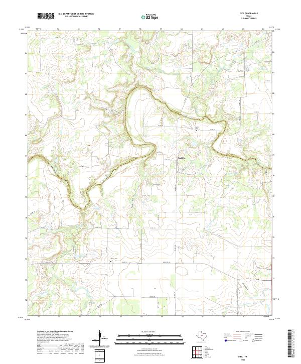
2022 Fife
McCulloch County, TX
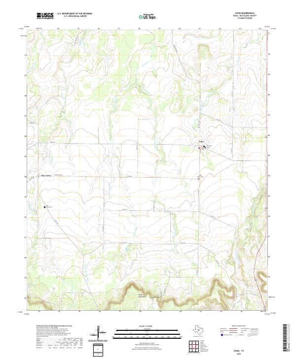
2022 Lohn
McCulloch County, TX
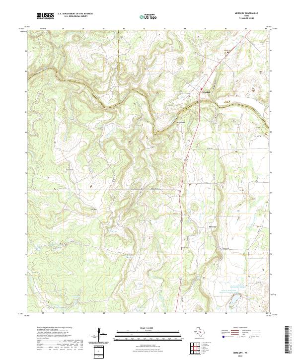
2022 Mercury
McCulloch County, TX
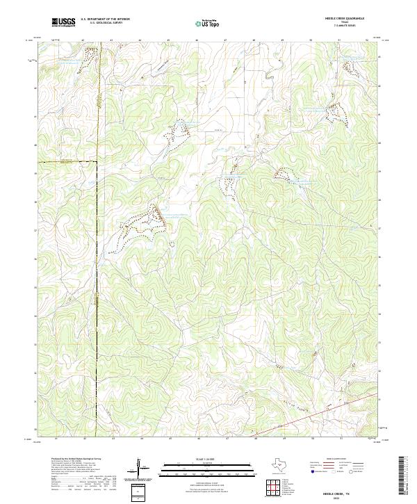
2022 Needle Creek
McCulloch County, TX
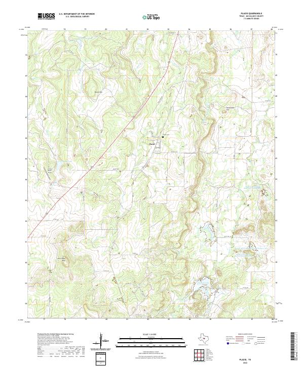
2022 Placid
McCulloch County, TX
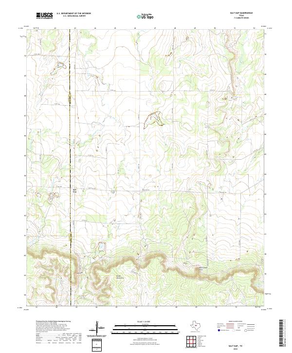
2022 Salt Gap
McCulloch County, TX
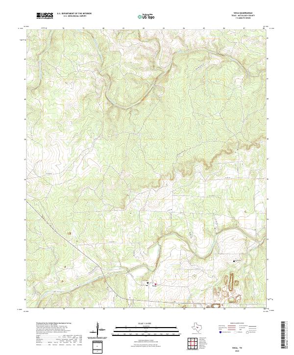
2022 Voca
McCulloch County, TX
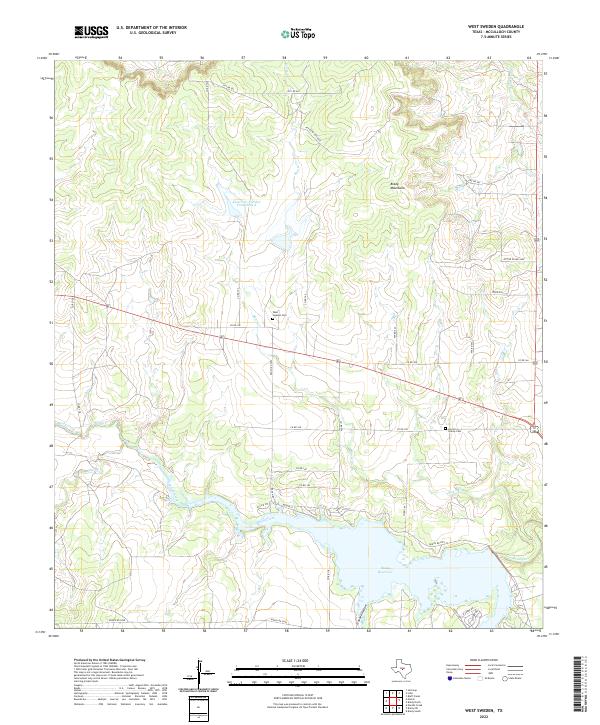
2022 West Sweden
McCulloch County, TX